
Bay of Cambodia
Cambodia
See the map
General Information
about Bay of Cambodia
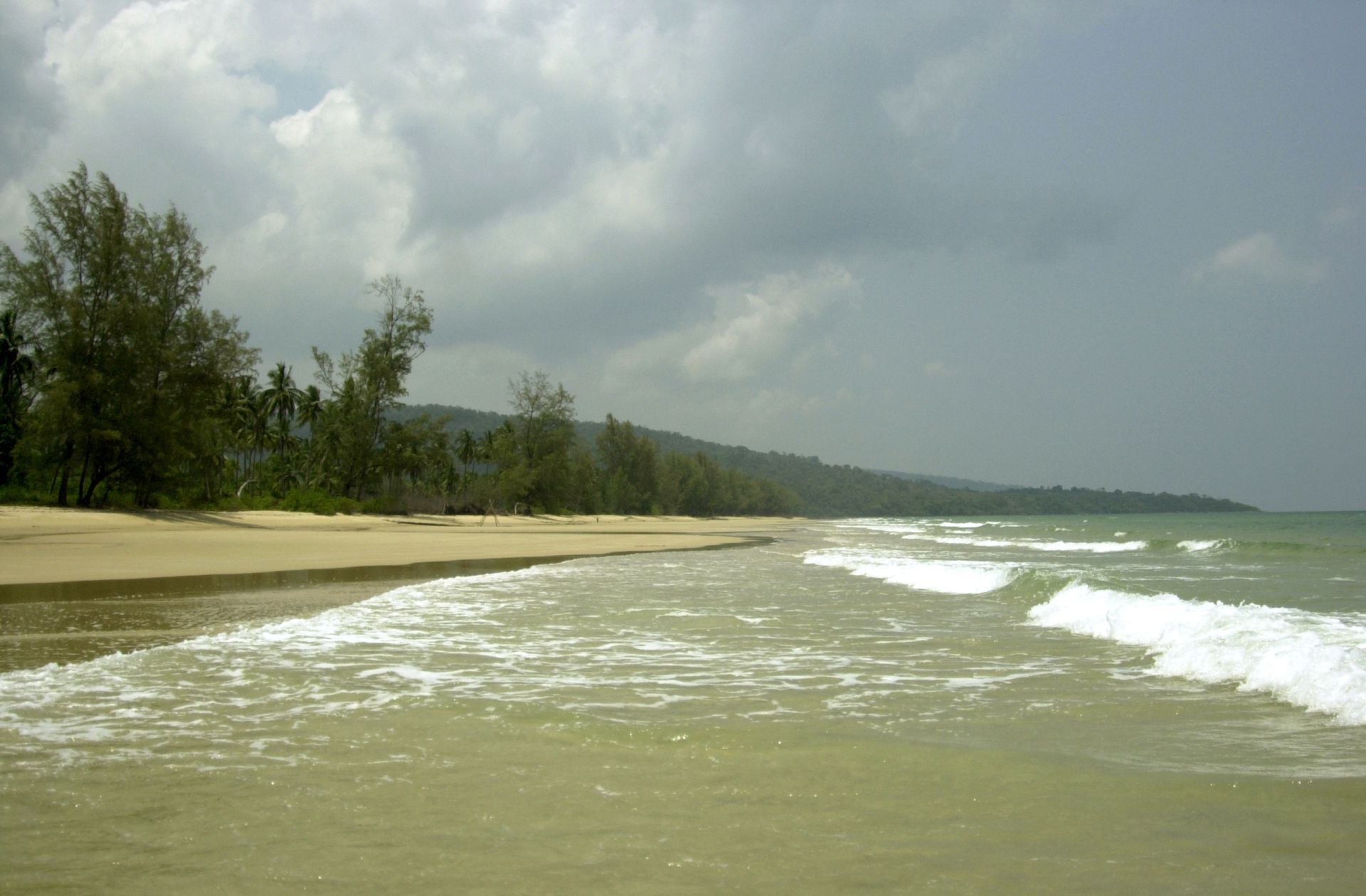
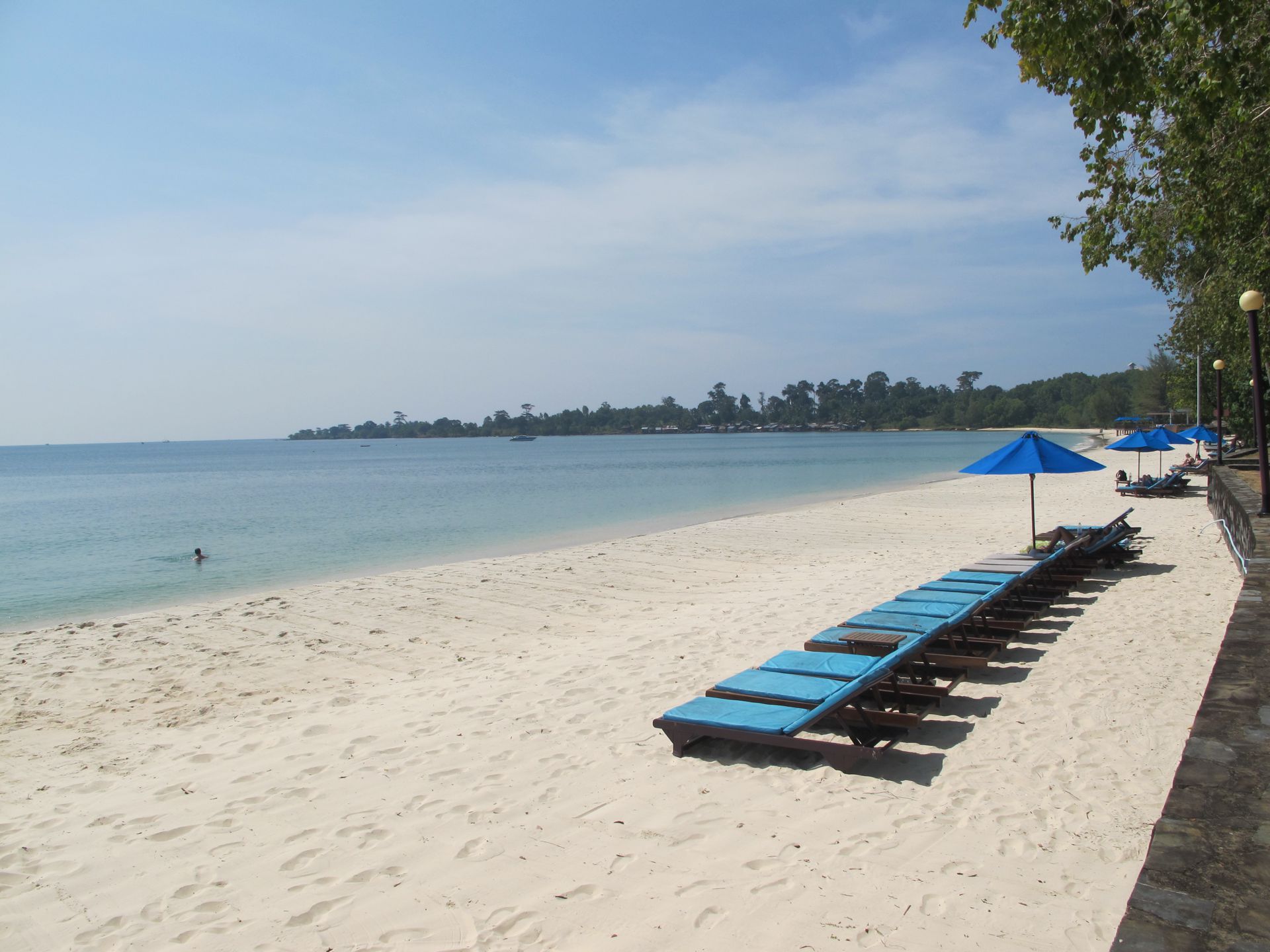
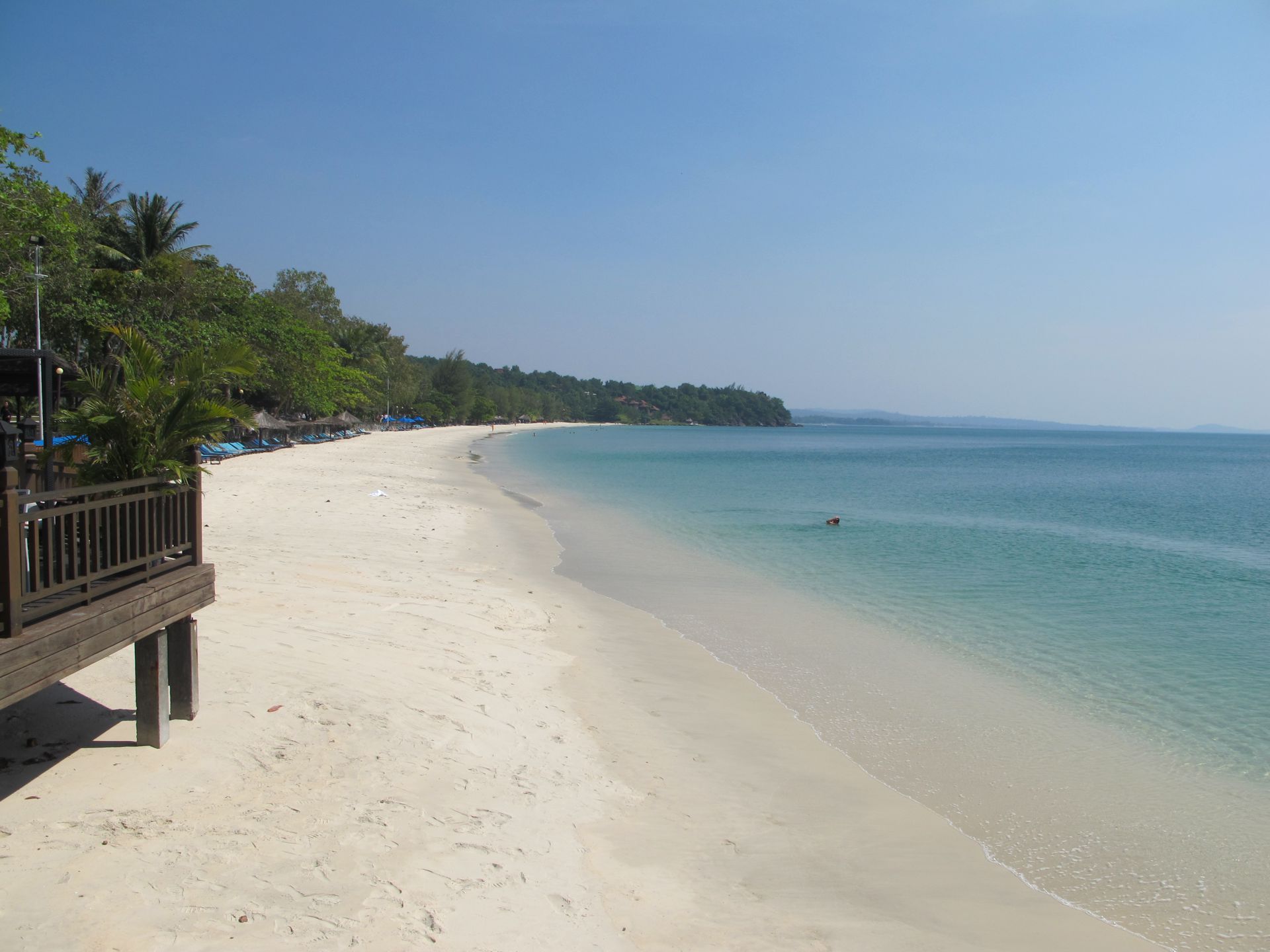
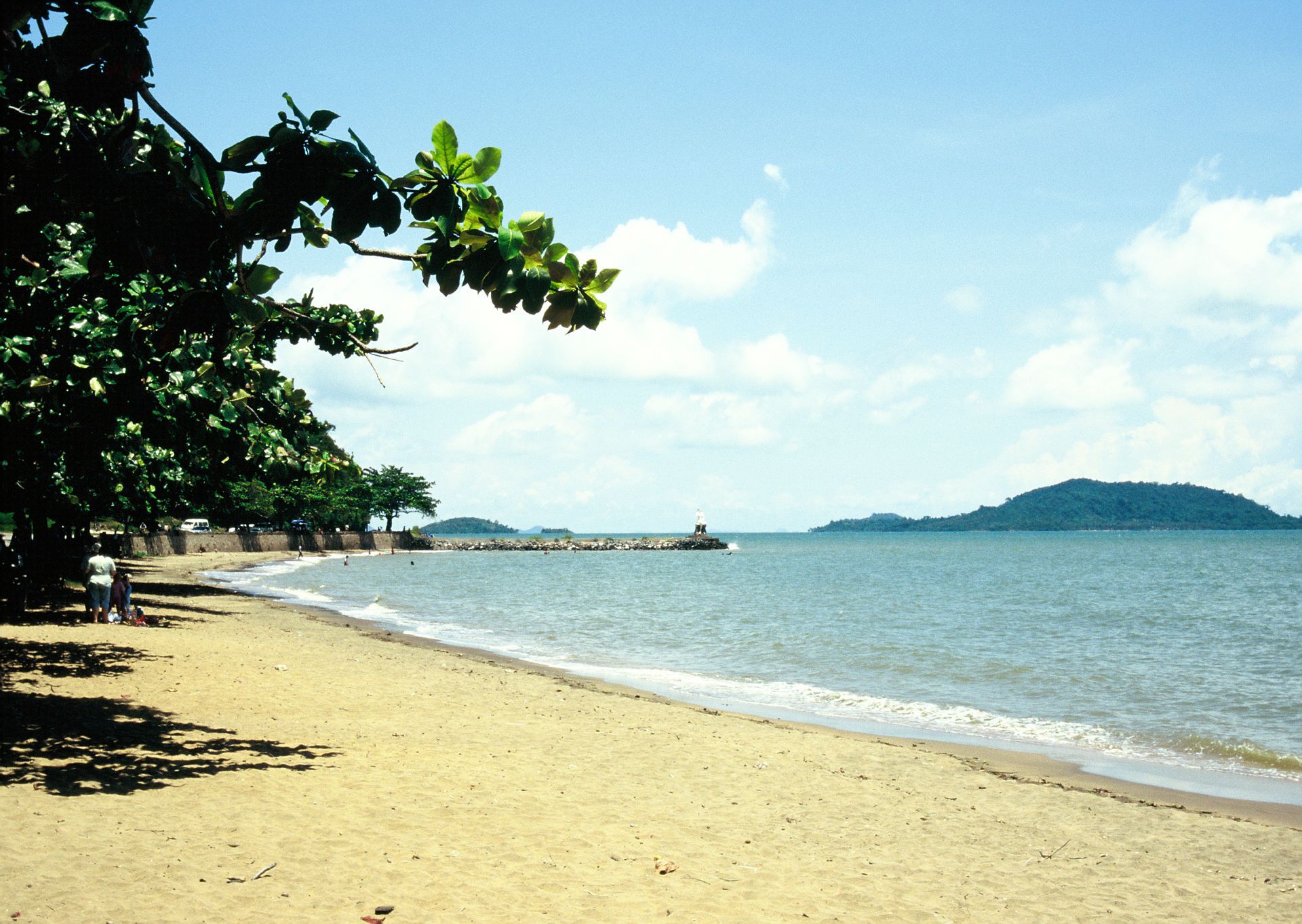
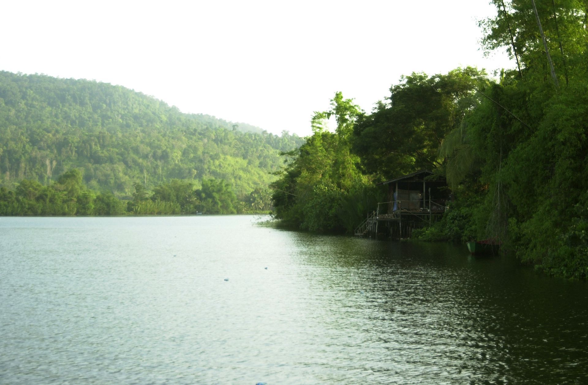
The Cambodia Bay is 440 km long, is situated in the southwest of the Kingdom of Cambodia and extends over 4 provinces: Koh Kong province, Preah Sihanouk province, Kompot province and Kep province, in a total landmass of 18,480 square kilometres.
The Cambodia coastal area possesses massive natural resources, such as: mangrove forest, marine flora and fauna (coral reef, sea grass, various fisheries) and is covered with mixed environment such as: forest, river, farmland, the sea, and also filled with a variety of biodiversity, thus creating an ecological corridor. The Cambodia coastal area possesses massive natural resources, such as: mangrove forest, marine flora and fauna (coral reef, sea grass, various fisheries).
The Cambodia coastal area is influenced by monsoons: this means that, between November and March, wind direction and wave conditionsare affectedby the northeast monsoon, and, from June to September, they are affected by the southwest monsoon; between April and October, this region is alternatively affected by two transitional monsoons.
La baie du Cambodge a 440 km de long. Elle est située au sud-ouest du Royaume du Cambodge et s’étend sur 4 provinces : la province de Koh Kong, la province de Preah Sihanouk, la province de Kompot et la province de Kep, occupant une superficie totale de 18 480 kilomètres carrés.
La zone côtière du Cambodge possède d’énormes ressources naturelles telles que la forêt de mangrove, la flore et la faune marines (récifs coralliens, herbiers marins, pêcheries diverses), avec un environnement mixte, composé de forêt, de rivière, de terres agricoles et de la mer, riche en une biodiversité diverse, créant ainsi un corridor écologique. La zone côtière du Cambodge possède d’énormes ressources naturelles telles que la forêt de mangrove, la flore et la faune marines (récifs coralliens, herbiers marins, pêcheries diverses).
La zone côtière du Cambodge est influencée par les moussons. Entre novembre et mars, la direction du vent et les conditions des vagues sont affectées par la mousson du nord-est. La période de juin à septembre est affectée par la mousson du sud-ouest et, entre avril et octobre, cette région est alternativement affectée par deux moussons de transition.
Local Partners: wwwtourismcambodia.org
Natural Environment
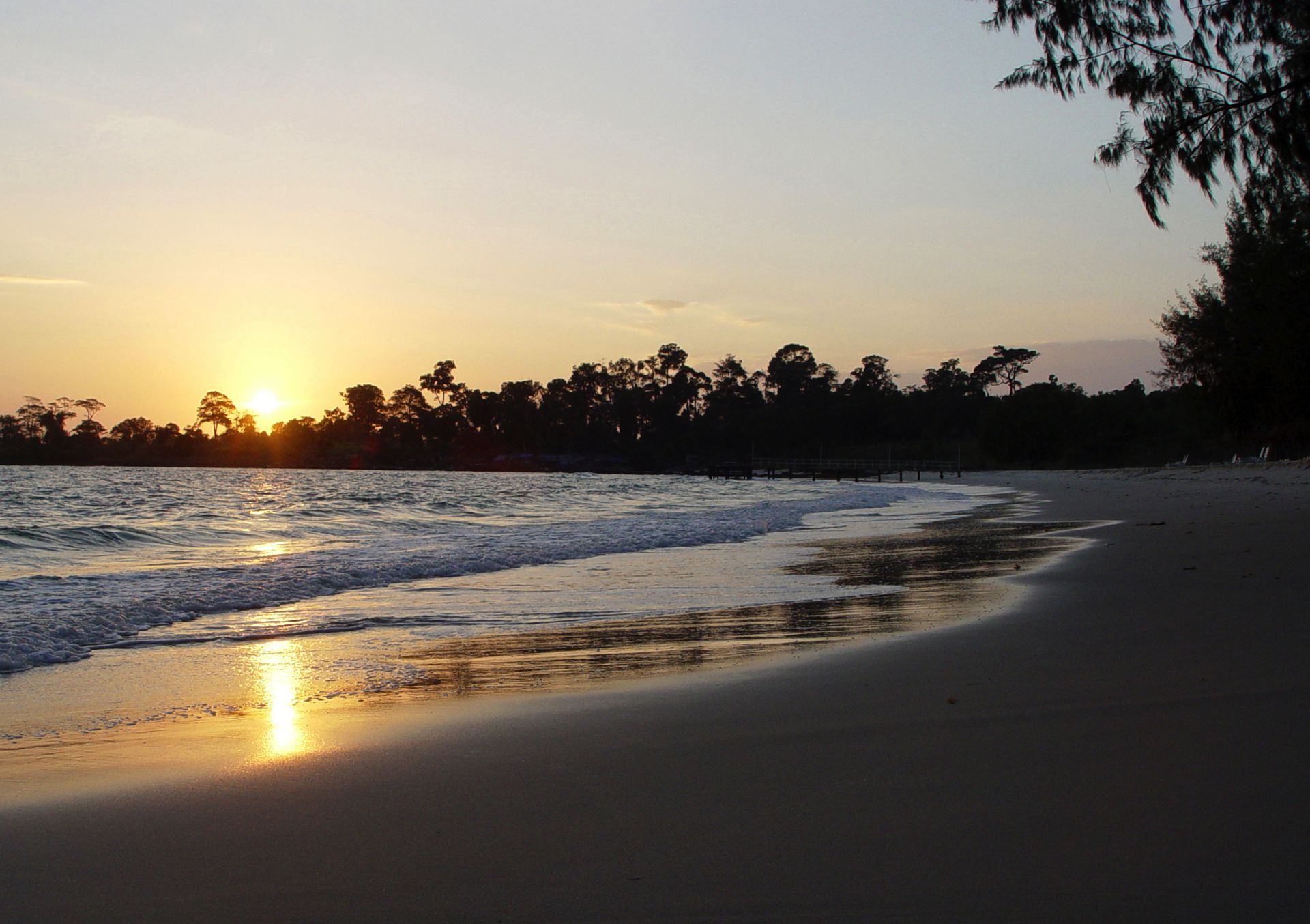
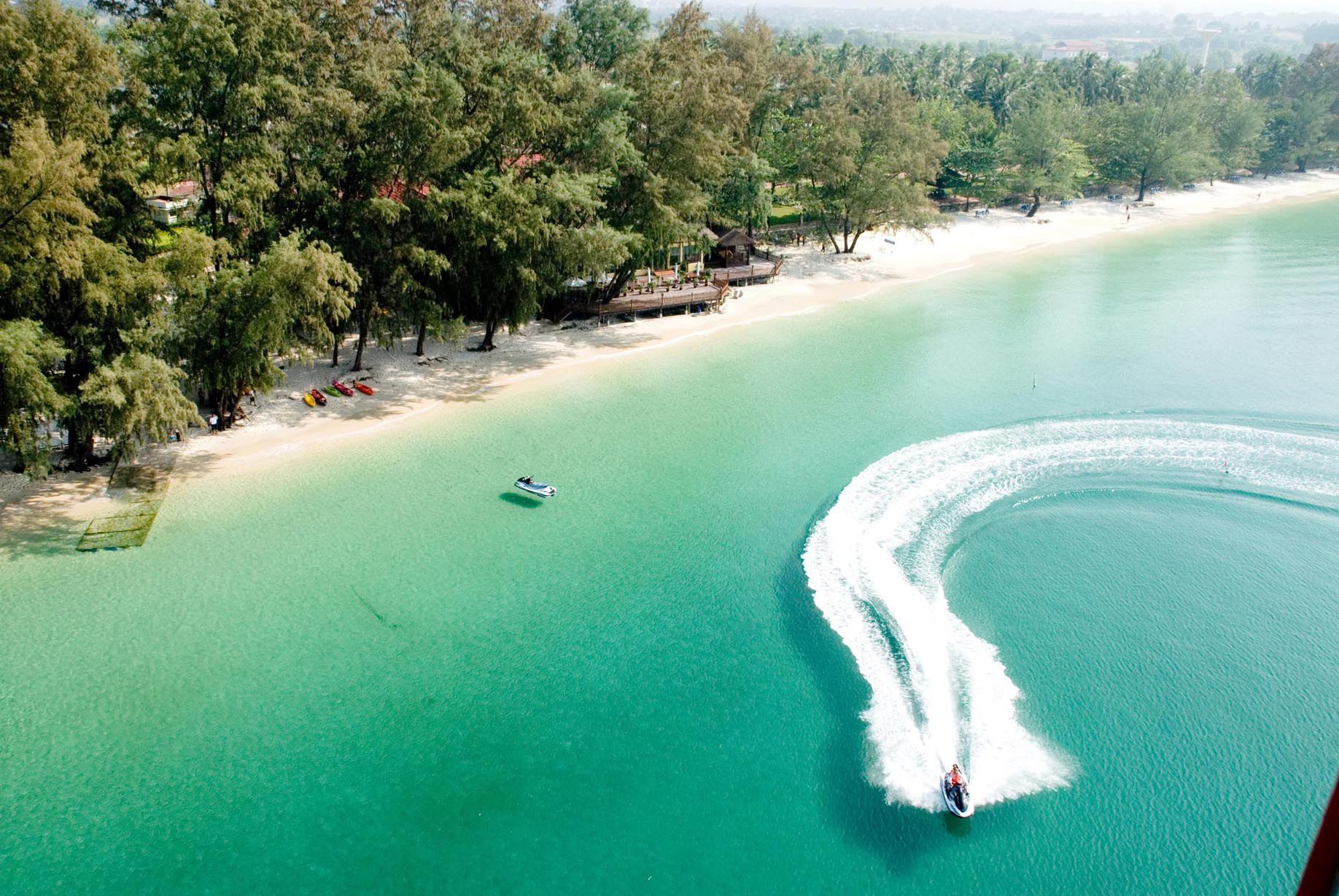
Coastline
Sand, mud, mangrove, rock, and revetment
Climate
Monsoon influence
Temperatures
Annual average :
Thermal amplitude :
Precipitations
Annual :
Distribution:
Biogeographic Classification
--
Human Environment
Language
Khmer
Local Economy
Maritime seaport, Tourism, Agriculture, Fishing,
Demography
Demography
Population (inhab.) : 960.487
Density (inhab/km2) : 51pers/km2
Human Development Index
--
Ecological Footprint
--
Heritage and Credentials
Natural Heritage
RAMSAR
Cultural Heritage
--
Coastal Management
The National Committee for Cambodia Bay Management and Development
Criteria retained by the club
BN8: representative example of continuing ecological and biological process with the development of remarkable and homogeneous ecosystem.
BN10: contain natural habitats preserving the diversity of fauna and flora particularly threatened species.
Latest news
about Bay of Cambodia
 your business playground