
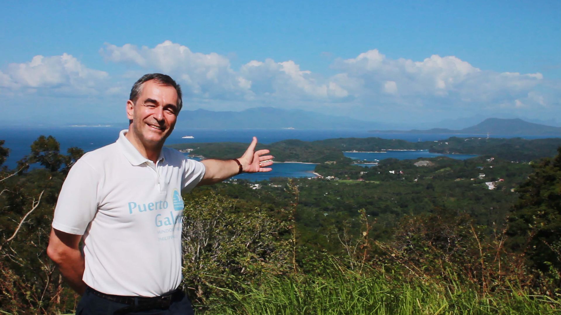
Puerto Galera Bay
Philippines
See the map
General Information
about Puerto Galera Bay
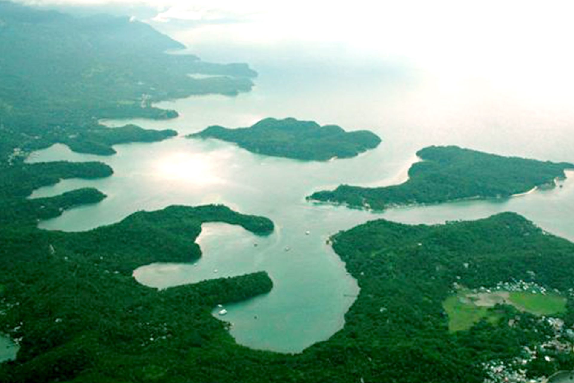
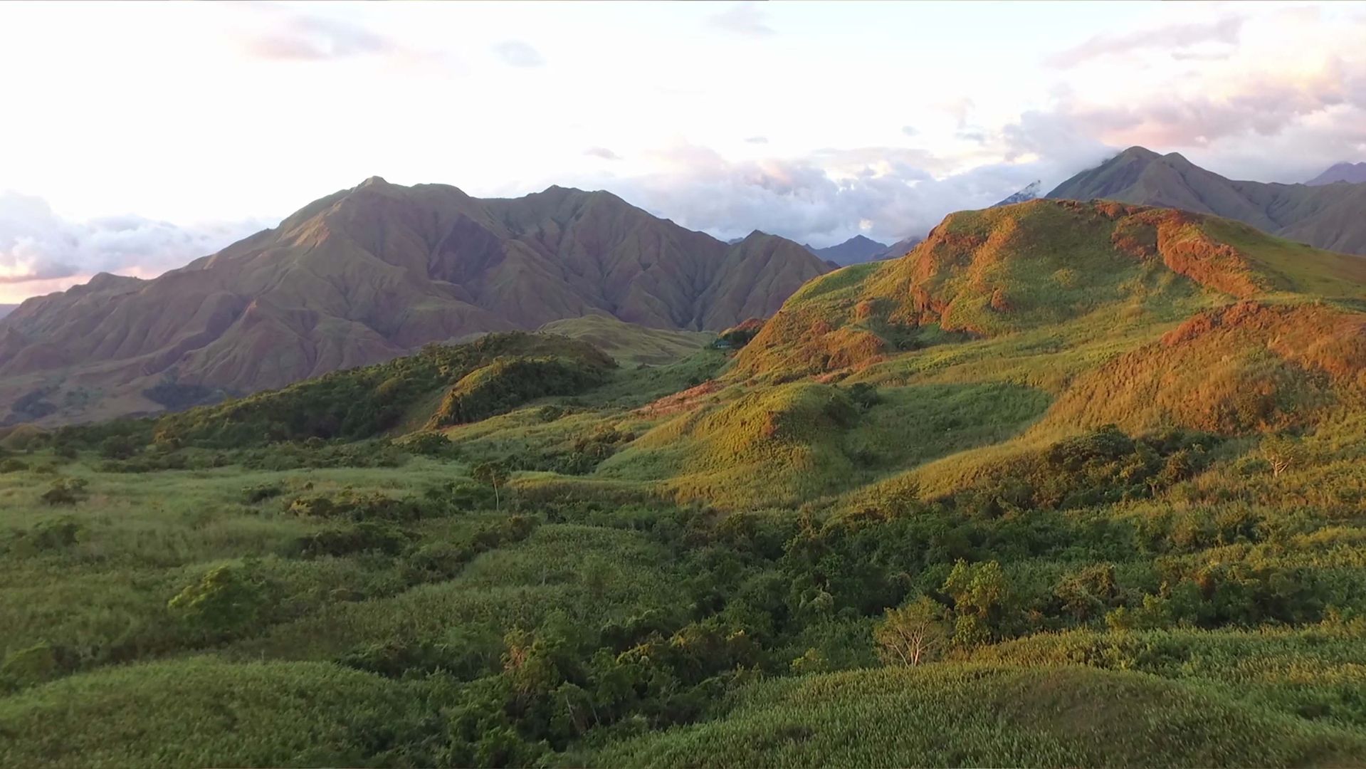
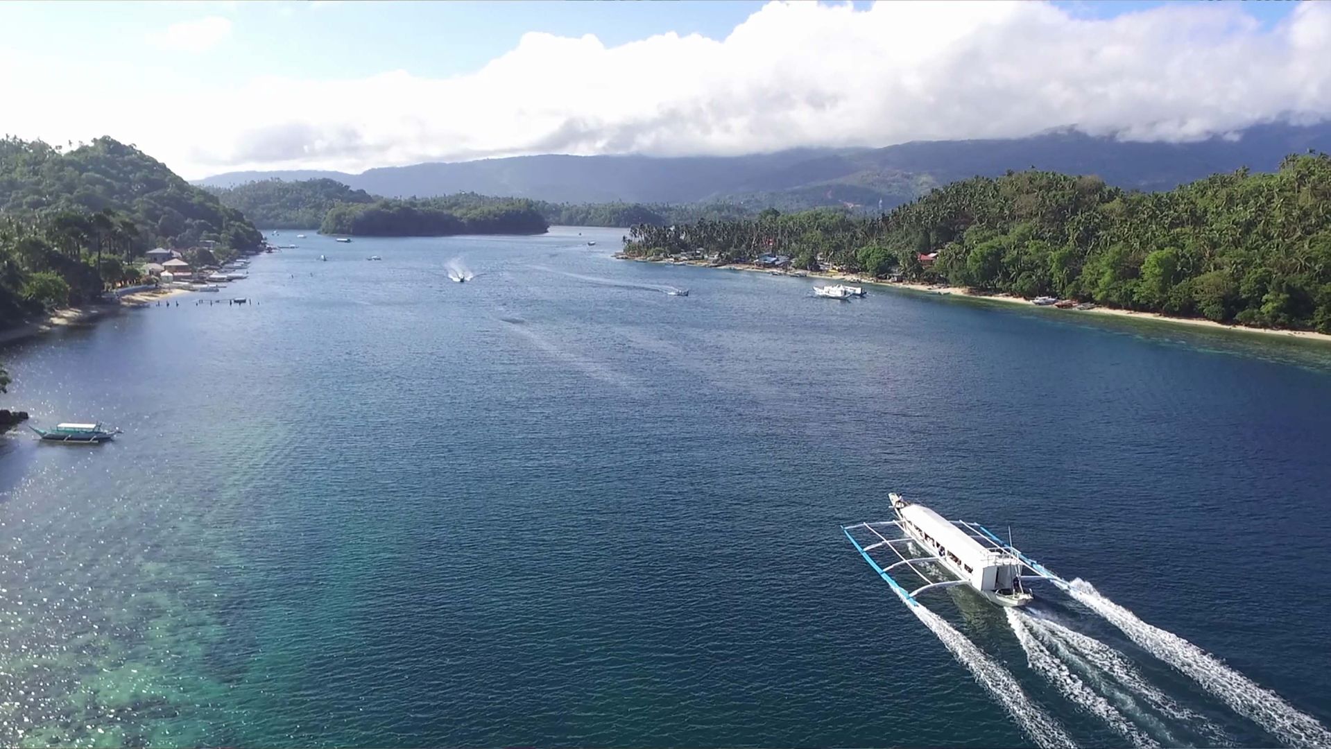
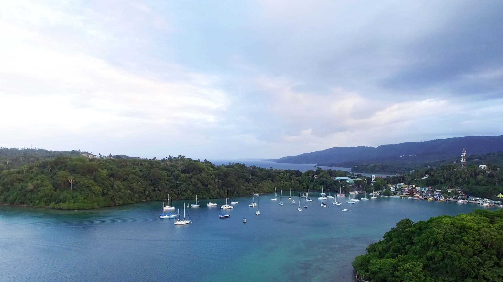
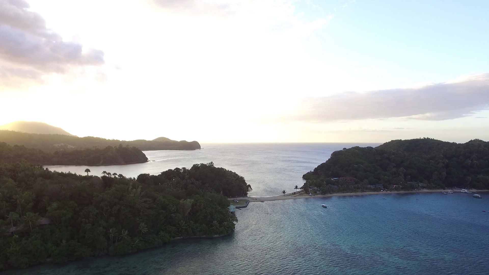
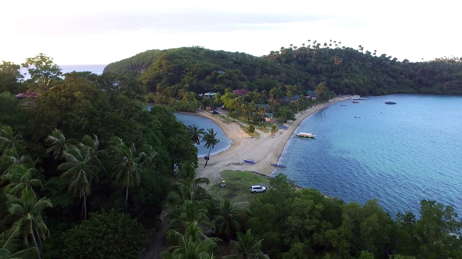
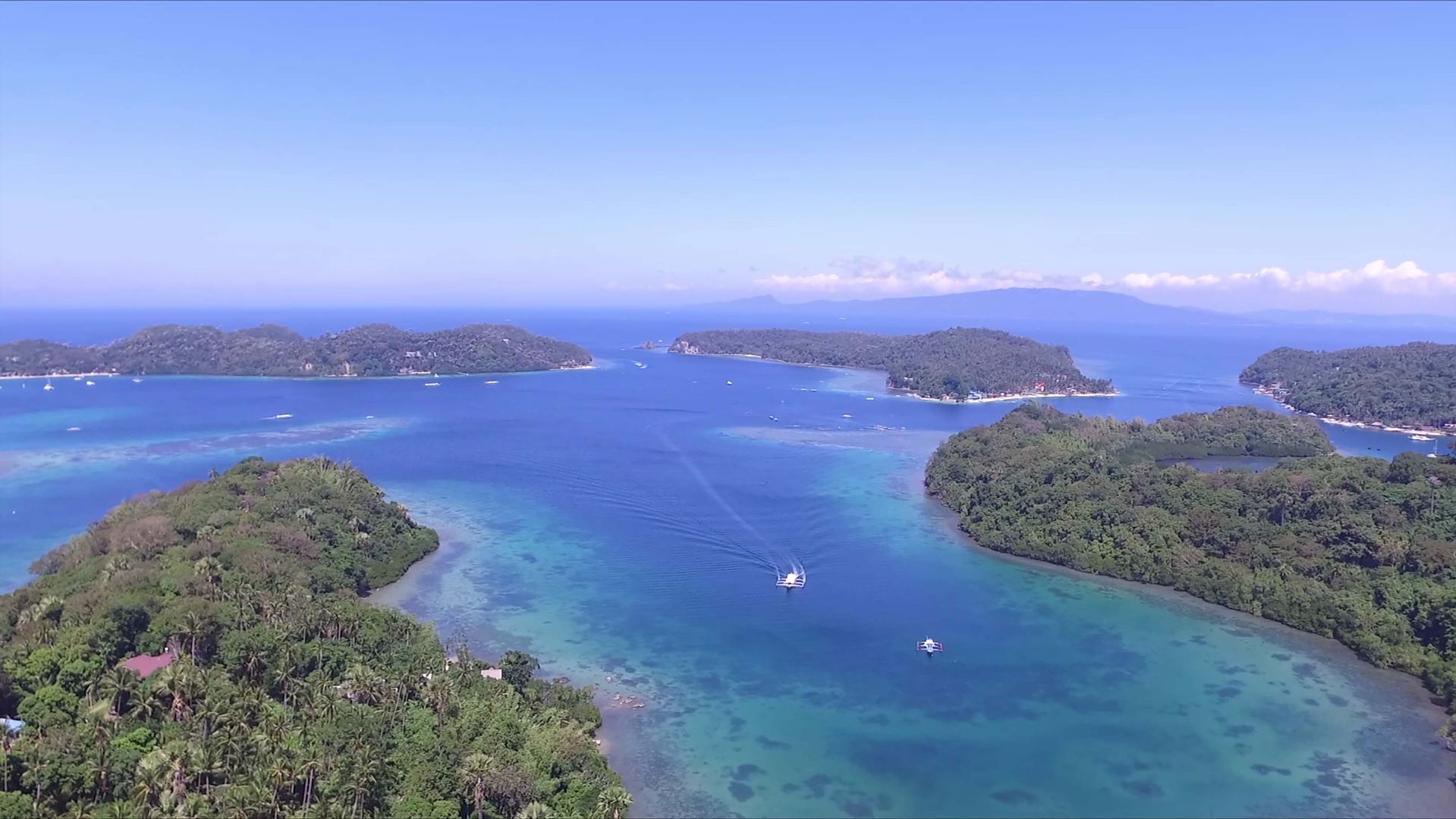
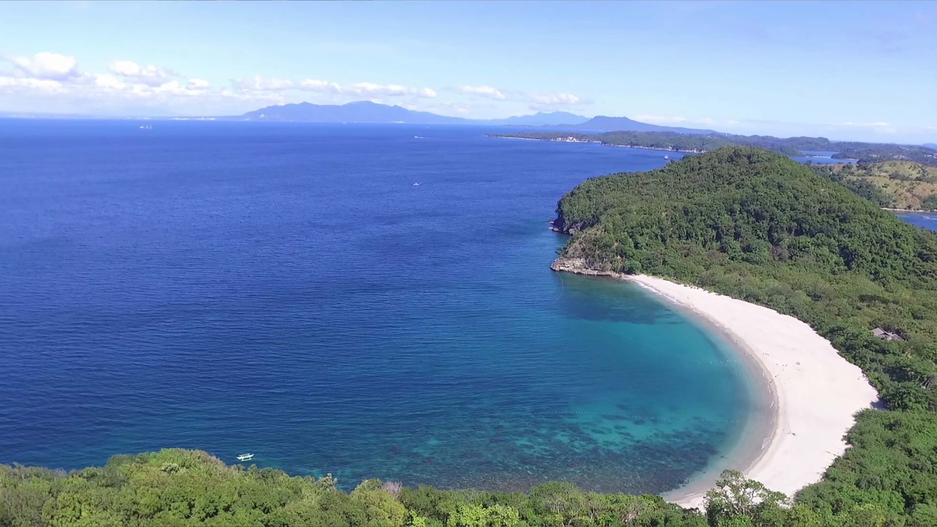
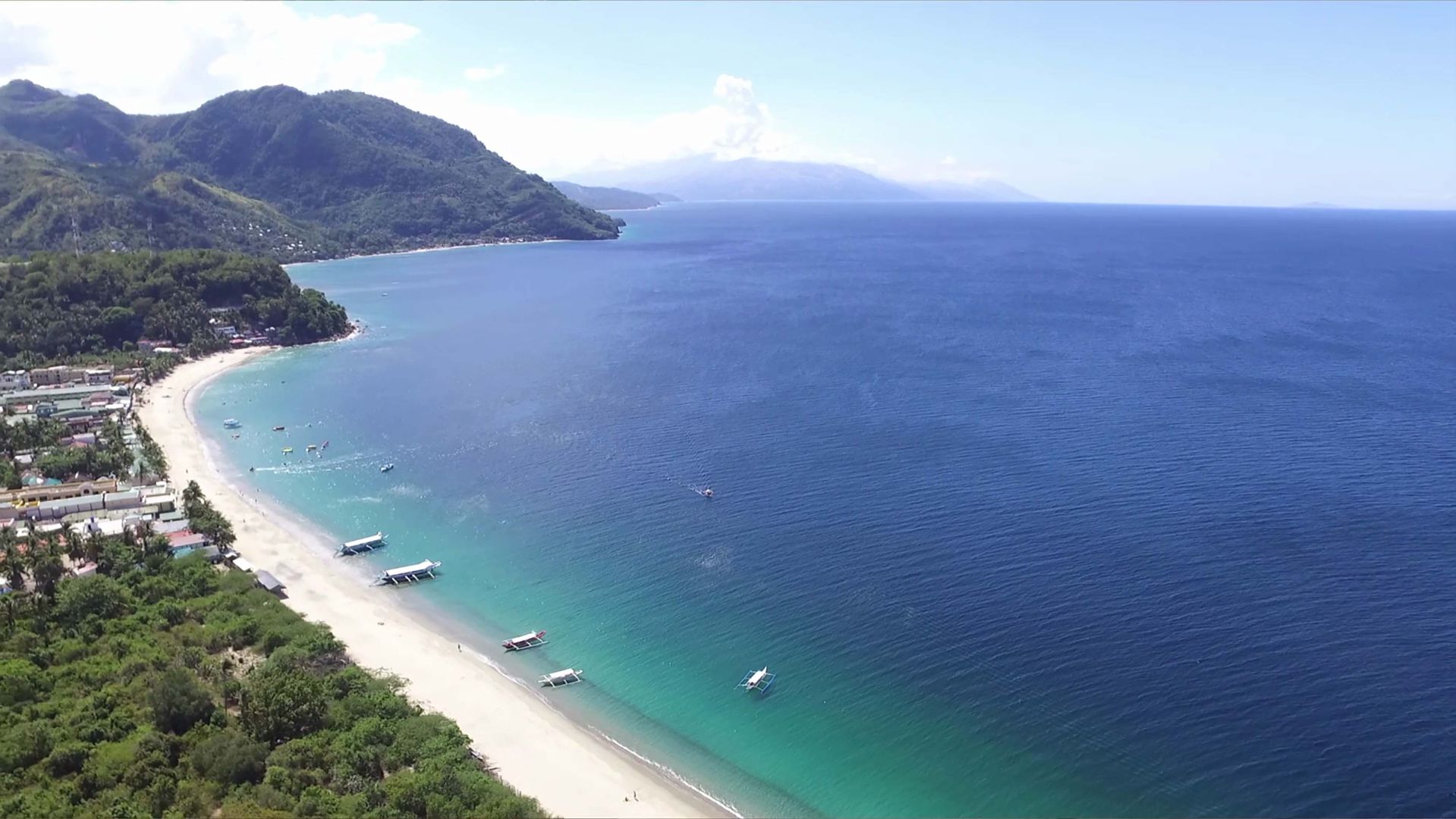
The Bay of Puerto Galera is located south of Manila, around 3 to 4 hours of travel time by land and sea. It is nestled in the northern part of the island of Mindoro, in the centre of the volcanic archipelago of the Philippines. Mindoro is the country’s 7th largest island, covering about 10,000 km² of largely forested land. Its strategic position on the sea routes (Indonesia, China, Sumatra and Java) and its very safe natural harbour turned it into a trading port well-knownto navigators since at least the 10th century; its name was given in 1570 by Spanish explorers.
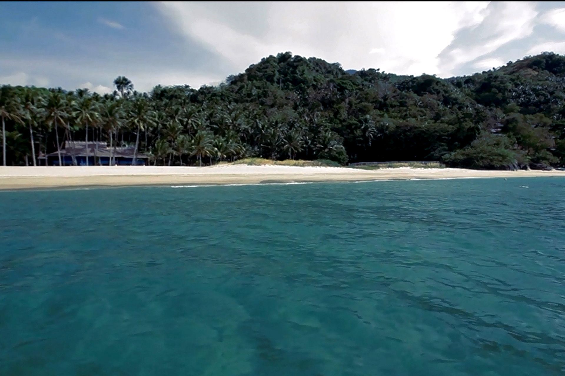
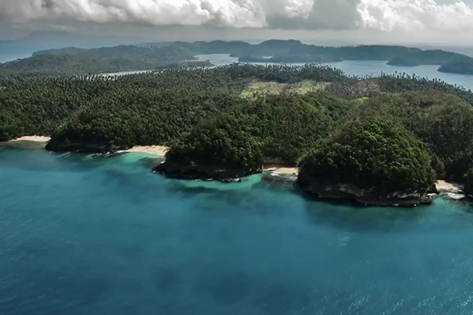
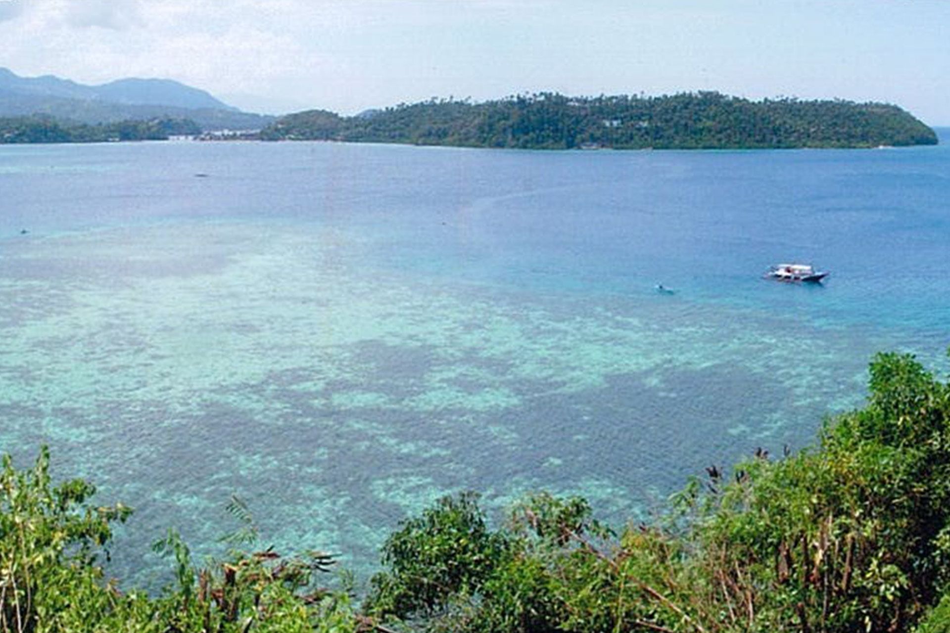
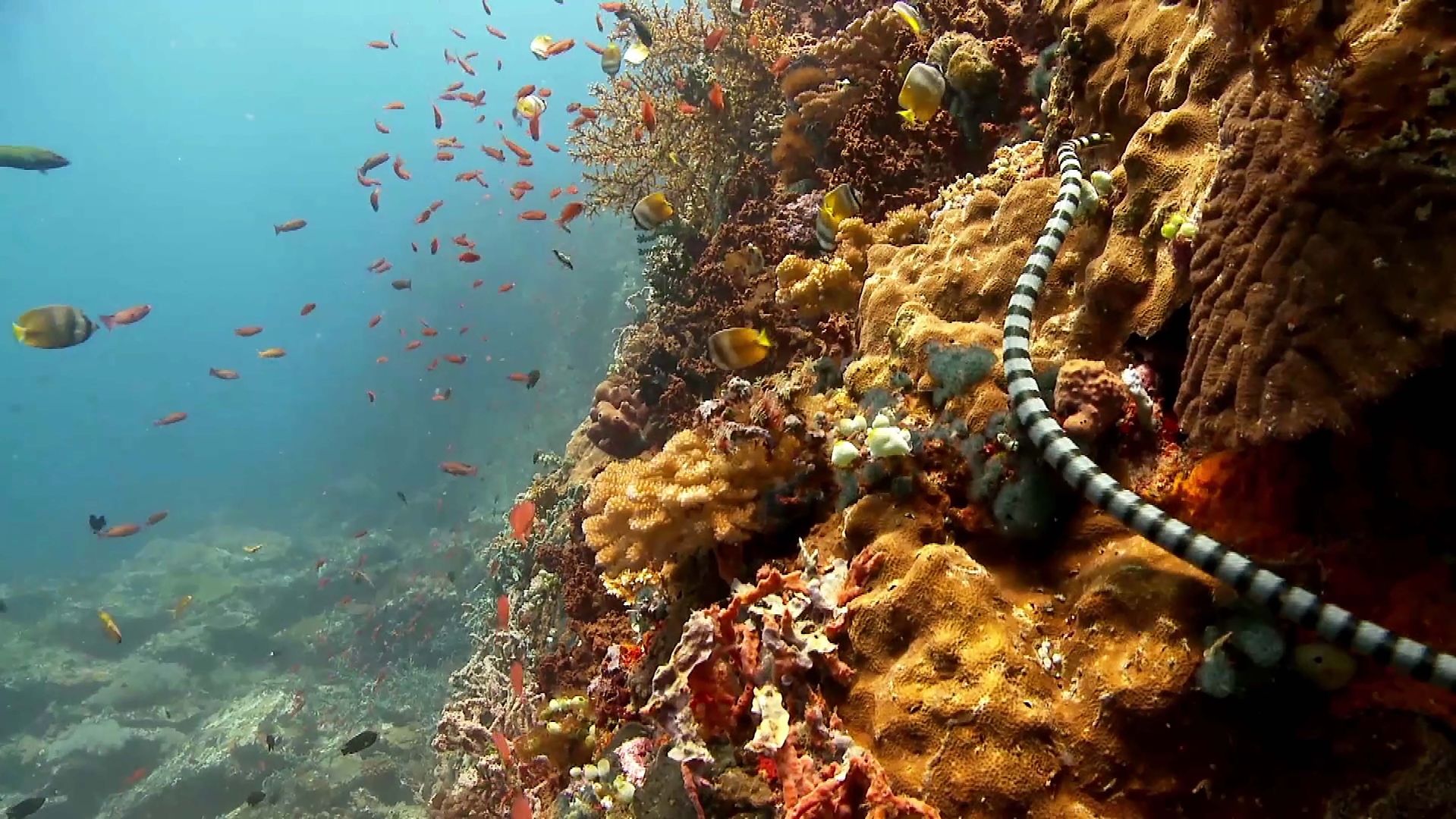
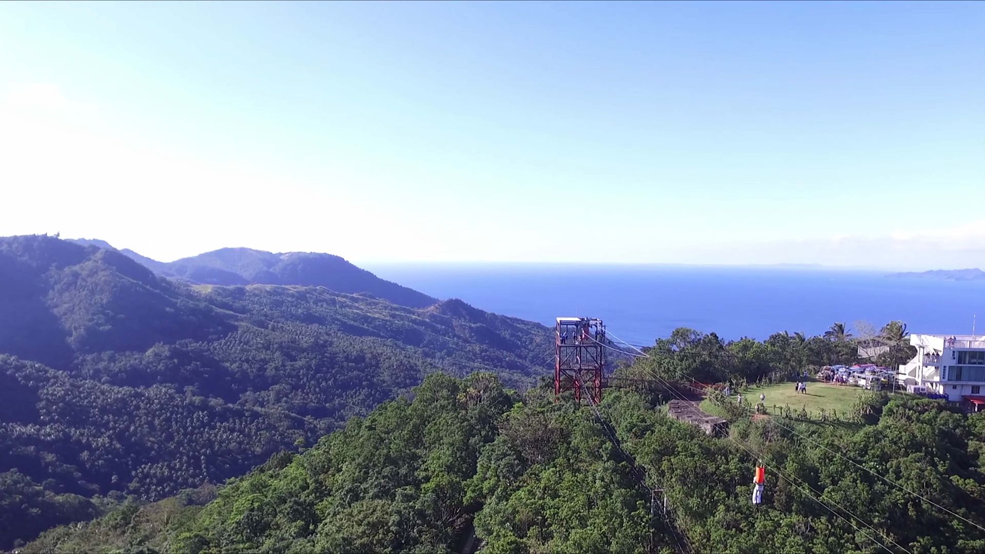
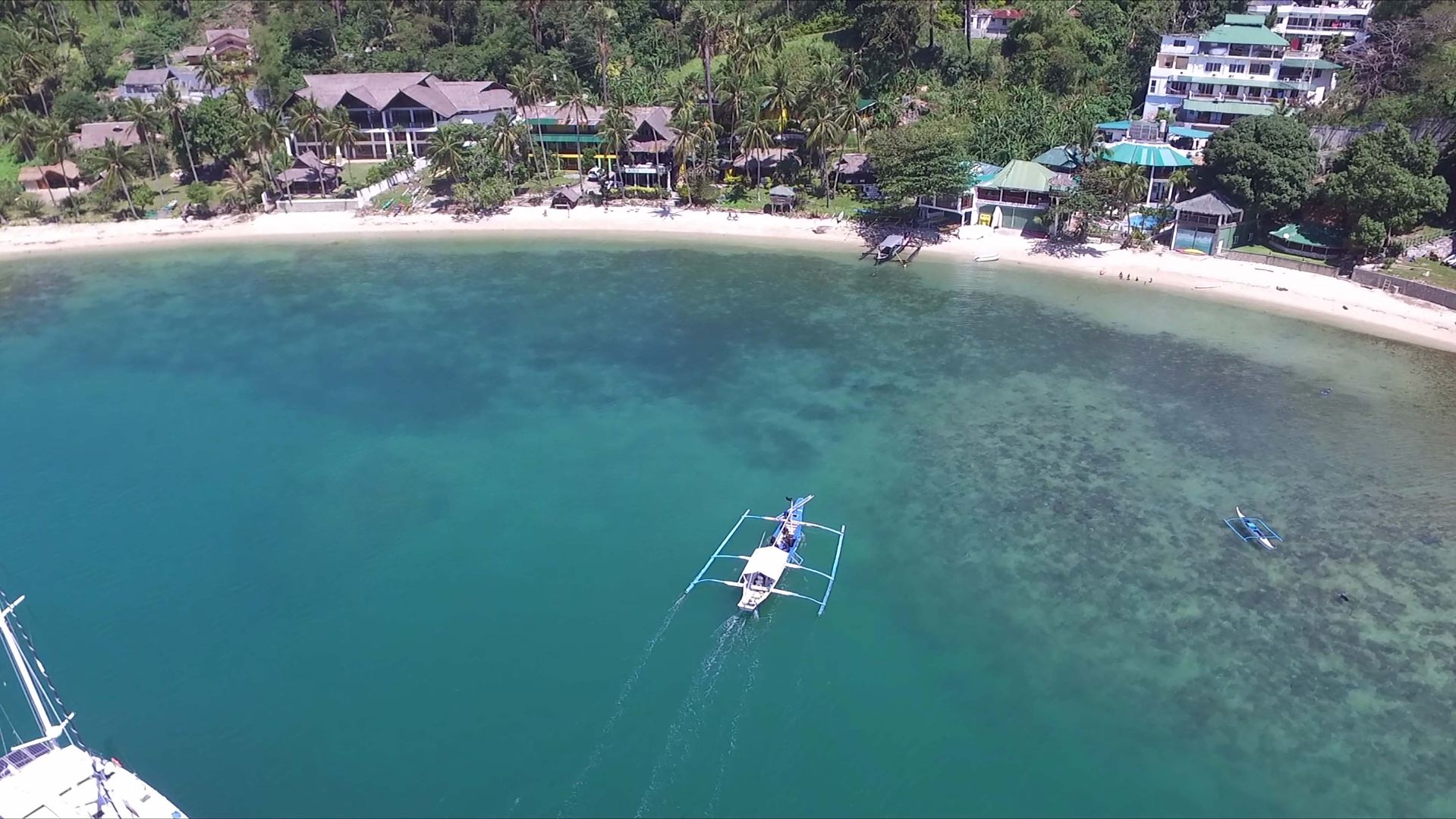
Its natural configuration, a closed bay of 4 km², and its ecosystems make it a genuine marine ”jewellery box;” since 1979, it has belonged to a “Human Reserve of Man and Biosphere” (UNESCO’s MAB programme), of which one of the main tasks is the conservation of the coral and forest reefs. Presently, authorities face the challenge of achieving a compatible tourist development of the bay while protecting its ecosystems, landscapes, traditional lifestyle and culture (Mangyan).
La baie de Puerto Galera est située au sud de Manille, à 3 – 4 heures de voyage en voiture et en bateau. Elle est nichée dans la partie nord de l’île de Mindoro, au centre de l’archipel volcanique des Philippines. Mindoro est la 7ème plus grande île du pays, couvrant environ 10 000 km² de terre en grande partie boisée. Sa position stratégique sur les routes maritimes les plus fréquentées du monde (Indonésie, Chine, Sumatra et Java) et son port naturel très sûr l’ont transformée en un port de commerce bien connu par les navigateurs depuis, au moins, le 10ème siècle. La ville a reçu son nom en 1570 des explorateurs espagnols.
La configuration naturelle de la baie, une baie fermée de 4 km², et ses éco-systèmes en font une véritable « boîte à bijoux » maritime. La baie appartient, depuis 1979, au réseau des « réserves de biosphère » (programme MAB de l’UNESCO), l’une de ses fonctions principales étant la conservation des récifs coralliens et forestiers. Actuellement, les autorités doivent relever le défi de parvenir à un développement touristique de la baie compatible avec la protection de ses écosystèmes, de ses paysages, de son mode de vie traditionnel et de sa culture (Mangyan).
Local Partners: www.mostbeautifulbays.com
Natural Environment
Coastline
Volcanic archipelago
Climate
Tropical, warm, humid
Temperatures
Moyenne annuelle: 27 ° C
Amplitude annuelle: from 22°C to 32°C
Precipitations
Annual: 2 000 mm
Distribution: Monsoon July to December
Biogeographic Classification
Tropical humid forest with coastal/marine component (Indomalayan)
Human Environment
Language
English, Tagalog
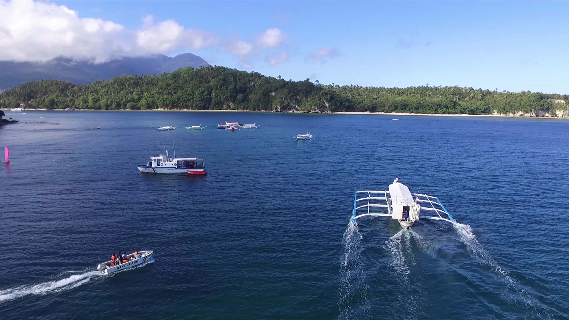
Local Economy
Fishing Agriculture Tourism
Demography
Population (inhab.): 23 000
Density (inhab/km2): 100 . 50 % less than 20 years old
Human Development Index
Médium
Ecological Footprint
1, 2y ; BC 6 :Alive traditions
Heritage and Credentials
Natural Heritage
Reserve biosphere (232 km²) : Forest with endemic species, 9 varieties of seagrass (total of 16 in the world), 20 species of mangroves trees out of 40 in the Philippines, 152 coral species out of 400 in the country, 121 species of fish, tortoises..marble, gold.
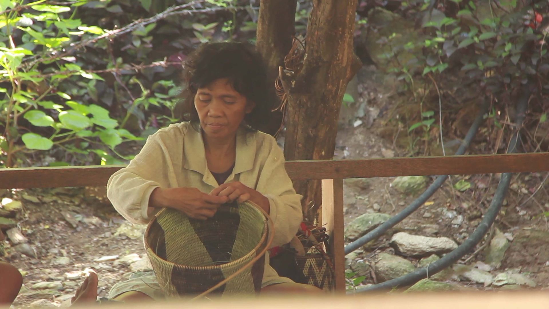
Cultural Heritage
Traditional culture of Mangyans (natives living of hunting and gathering) divided into 8 groups having their name, language and habits of which the Iraya group in Puerto Galera.
Coastal Management
Plan of management of the Bay has been completed last June 2005 for the 2006-2010 period
Criteria retained by the club
BN 4 : Natural habitats (forest, seagrass, corals, ..) ; BC 3 : Testimony on a civilisation (Mangyan)
Latest news
about Puerto Galera Bay
 your business playground