
Santander Bay
Spain
See the map
General Information
about Santander Bay
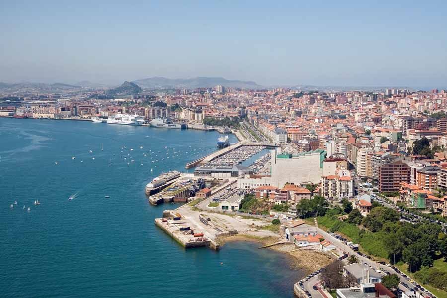
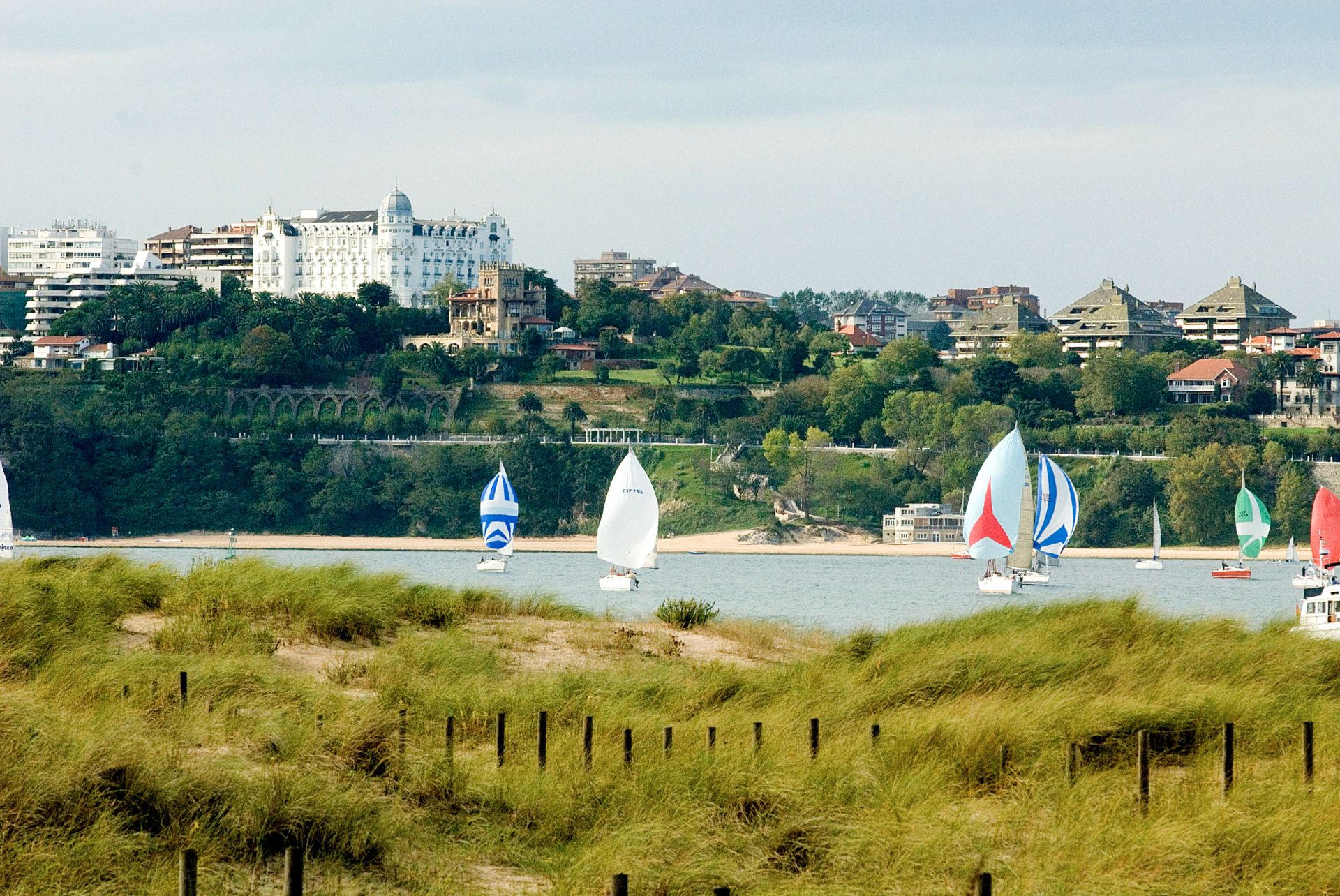
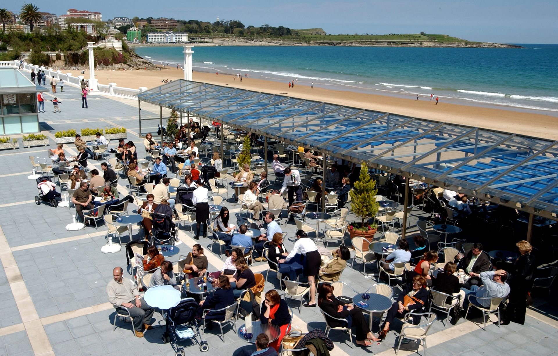
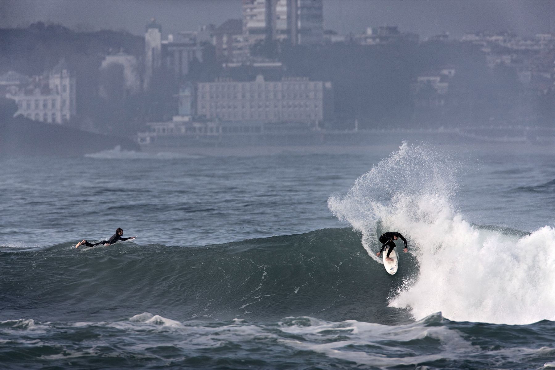
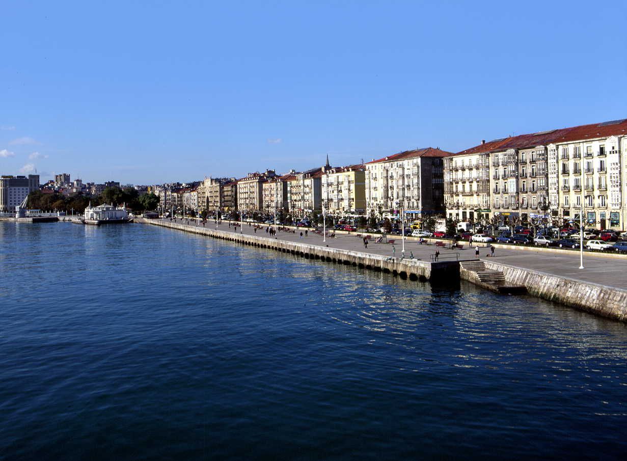
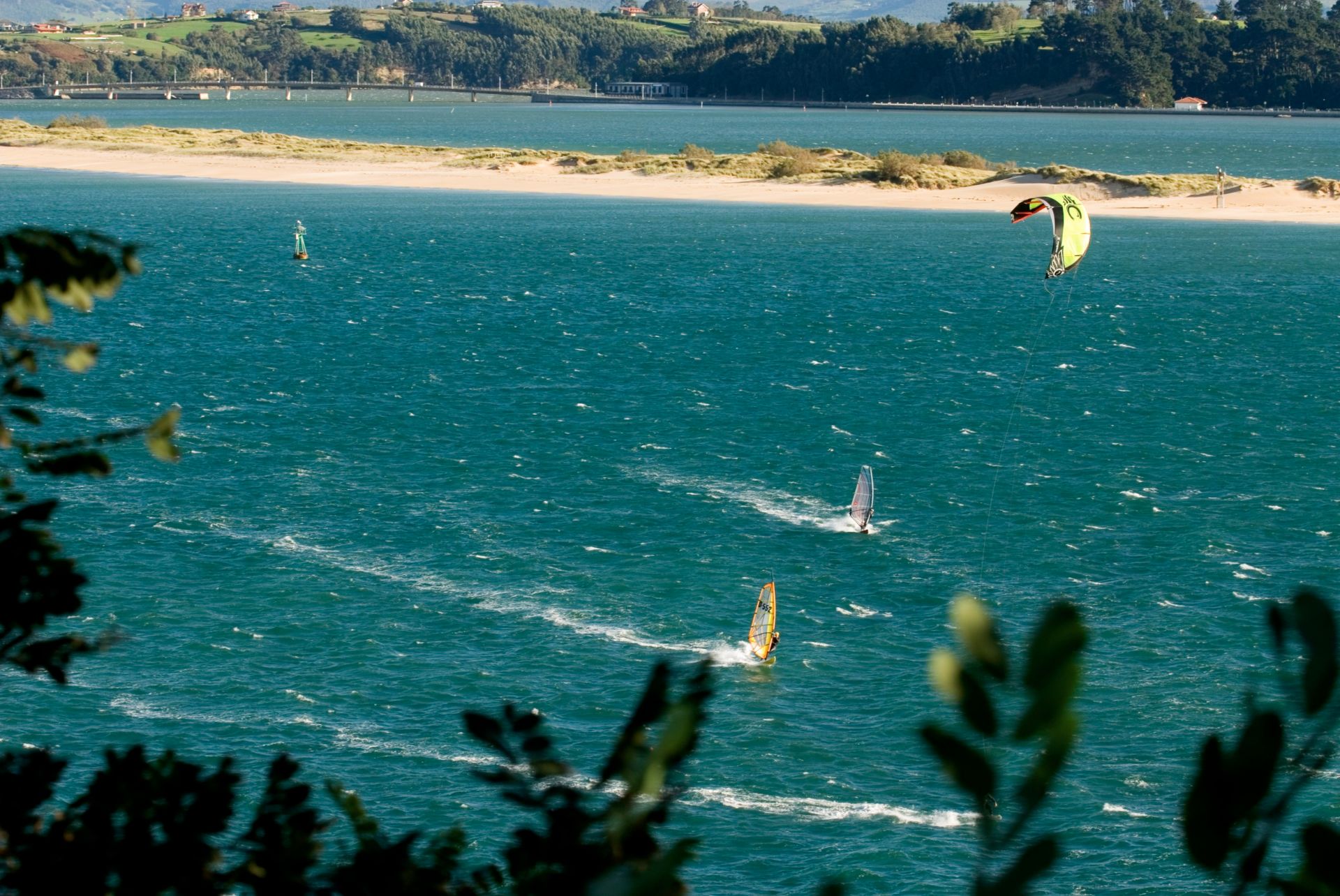
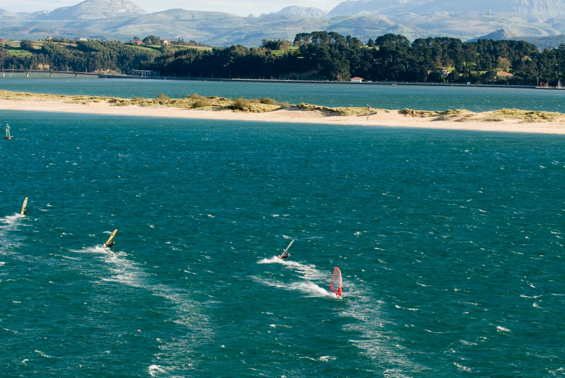
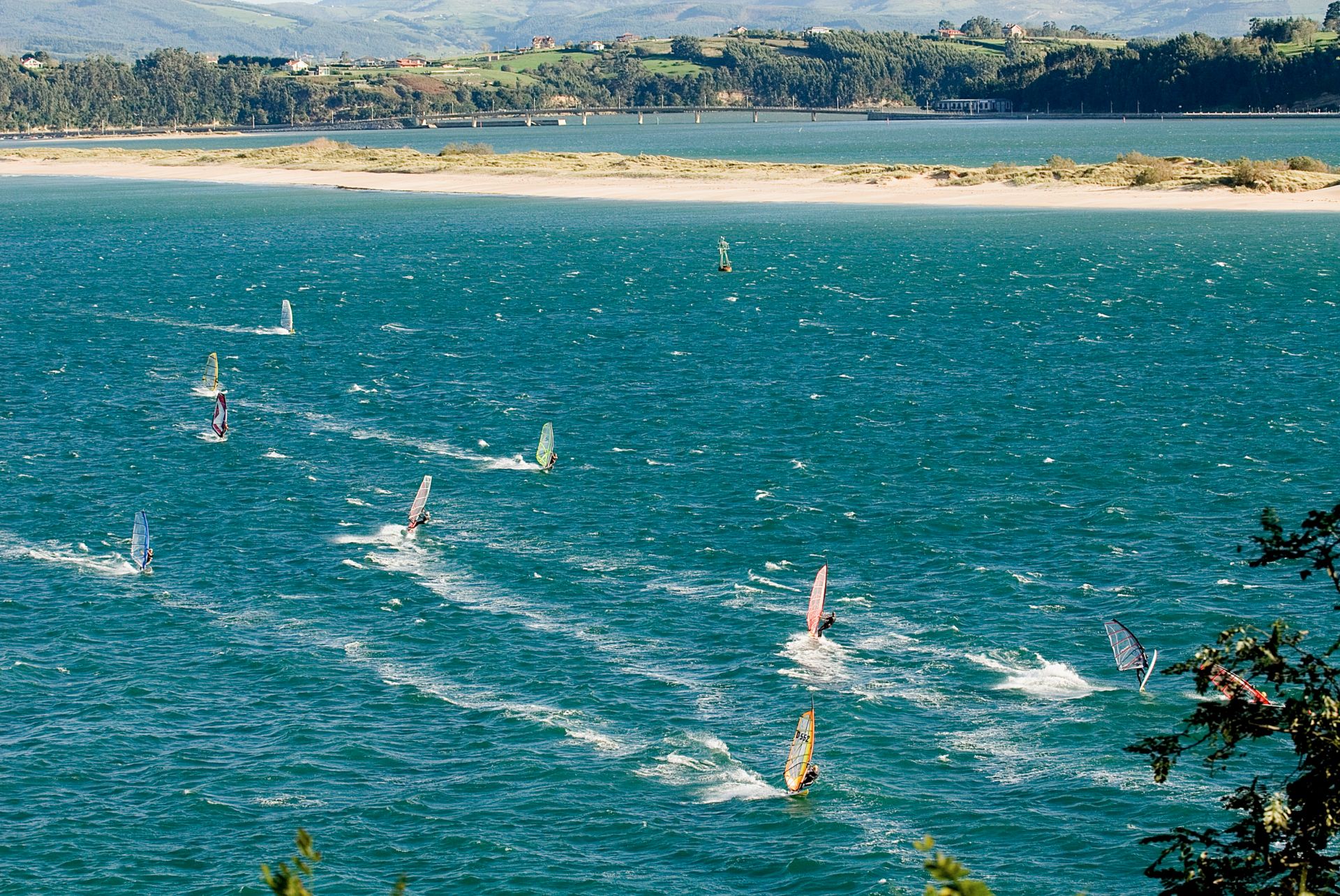
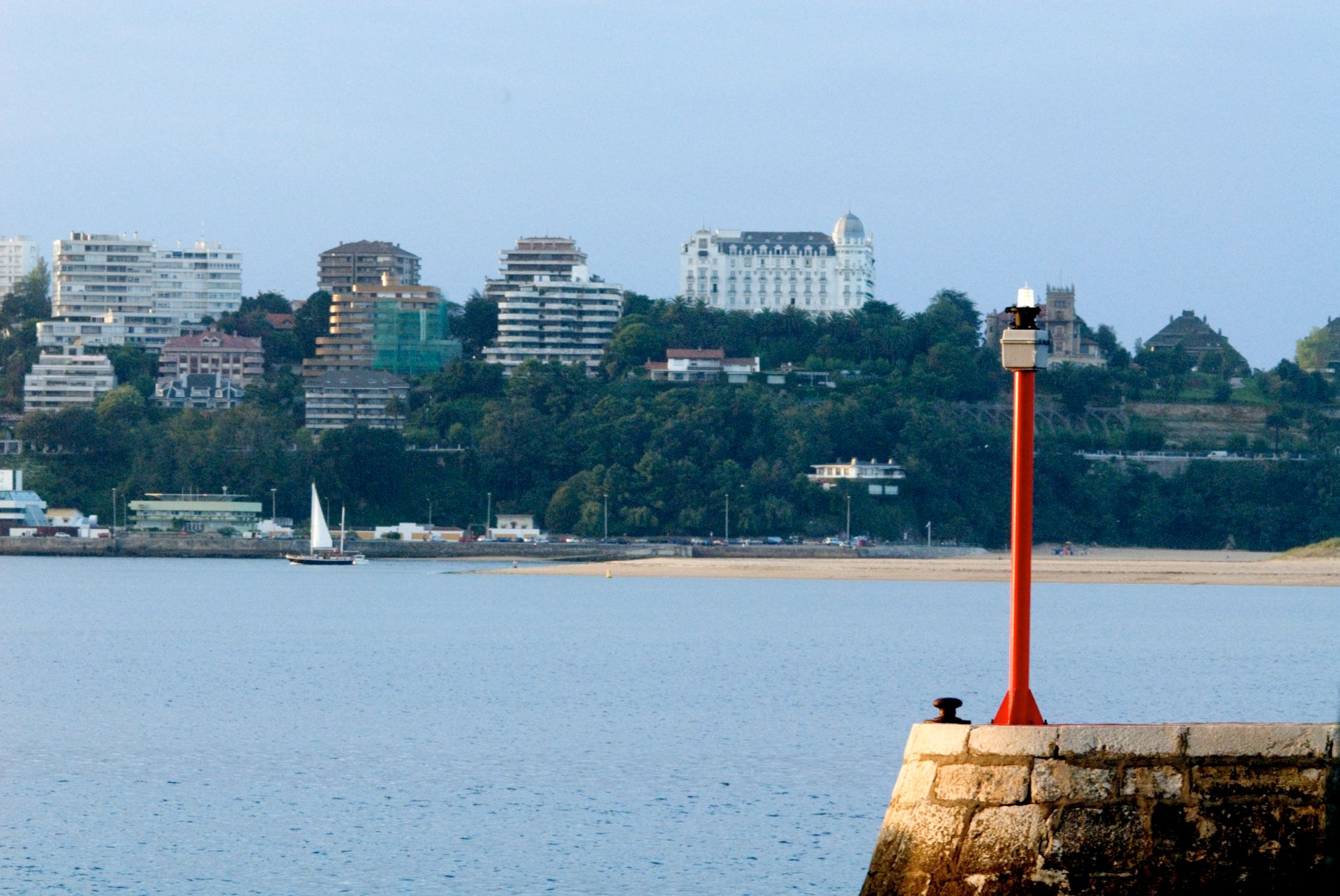
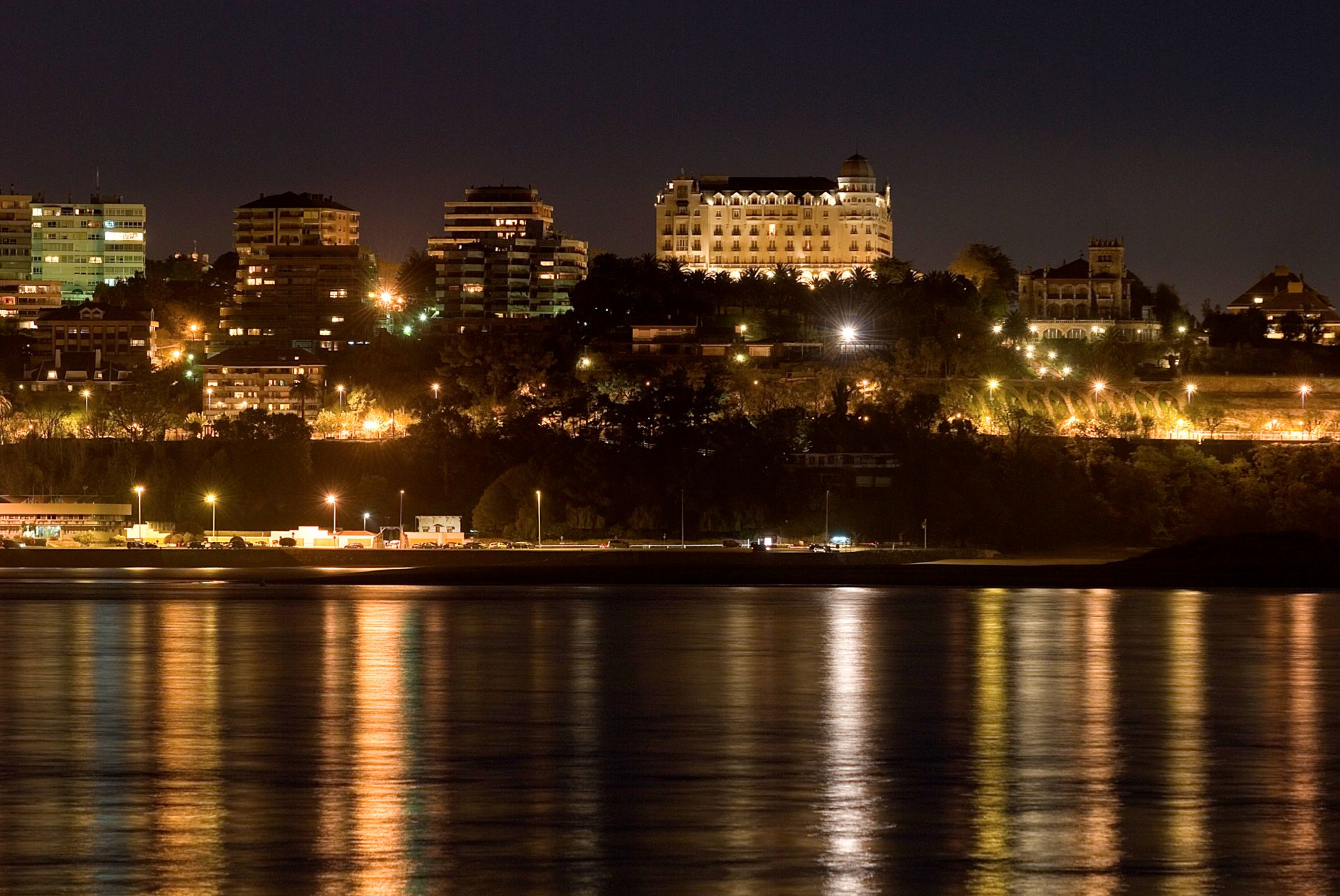
The Bay of Santander is both a county of Cantabria and the largest estuary on the North coast of Spain, with an area of 22.42 km², 9 km long and 5 km wide. Due to the influence of the city of Santander and its metropolitan area, nearly half of the region’s populationis gathered around it, which makes the anthropic pressure on this area of water quite notable.
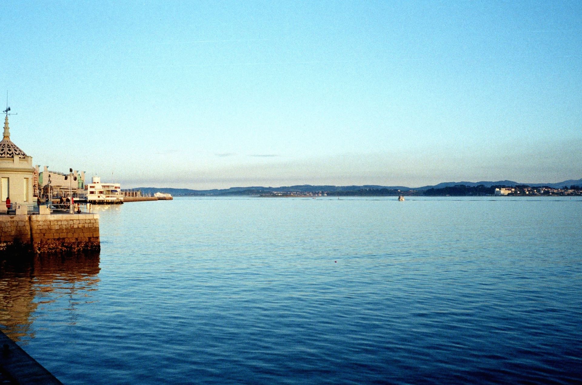
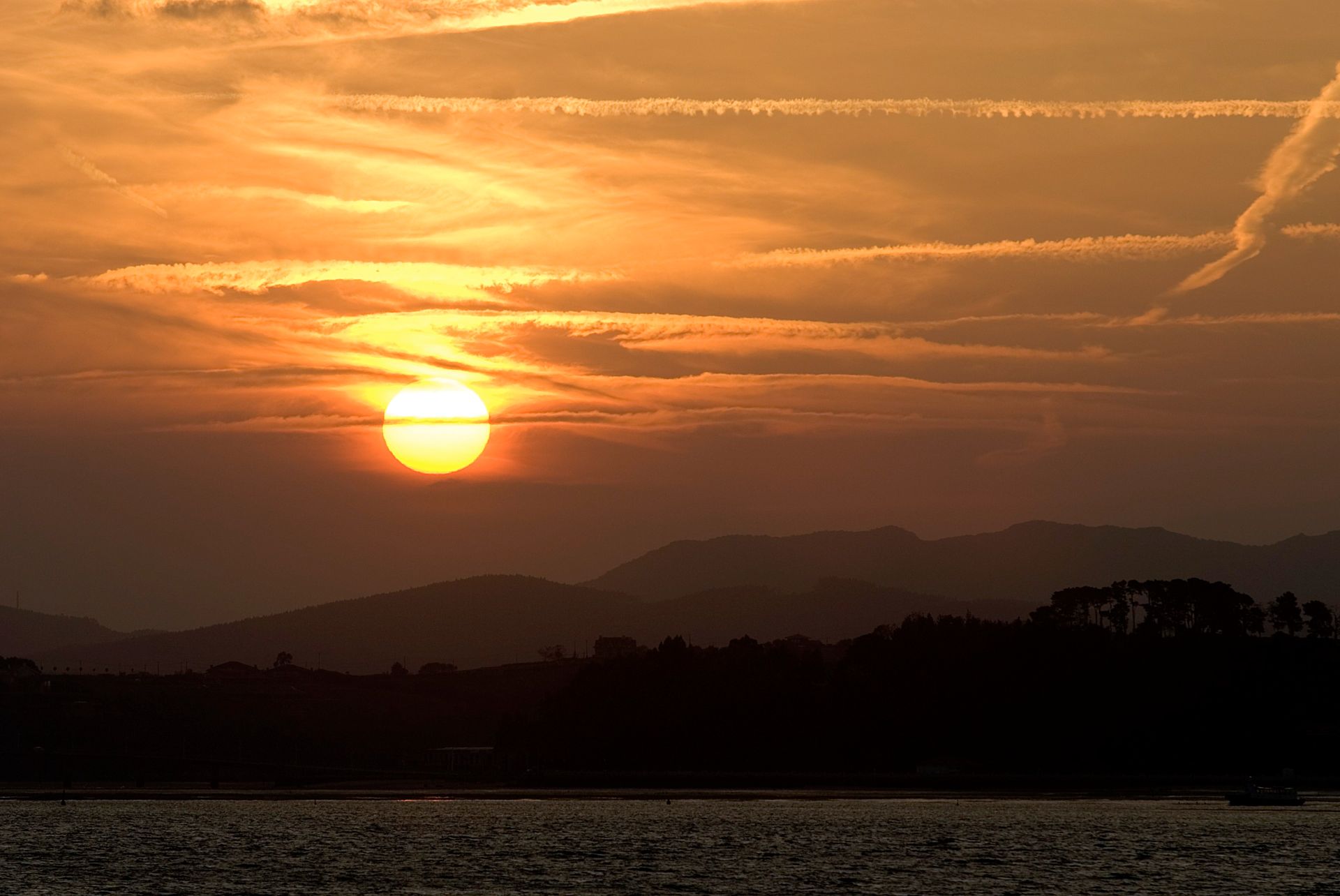
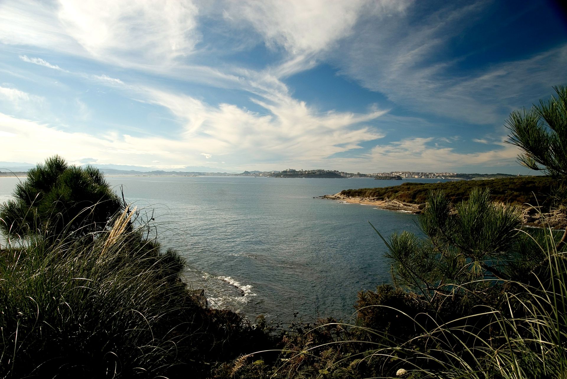
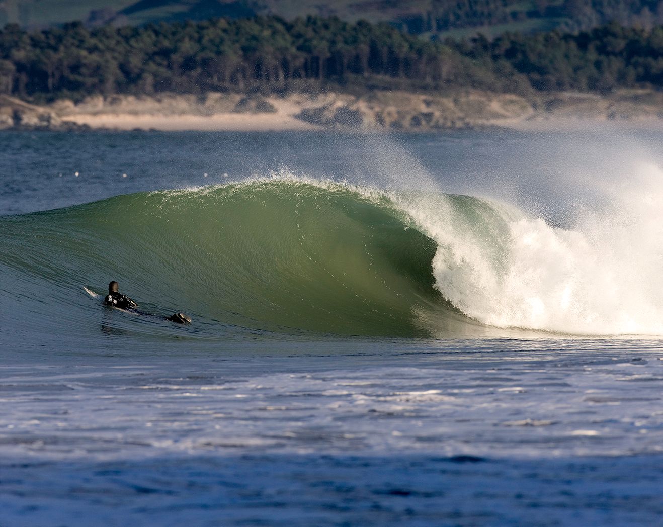
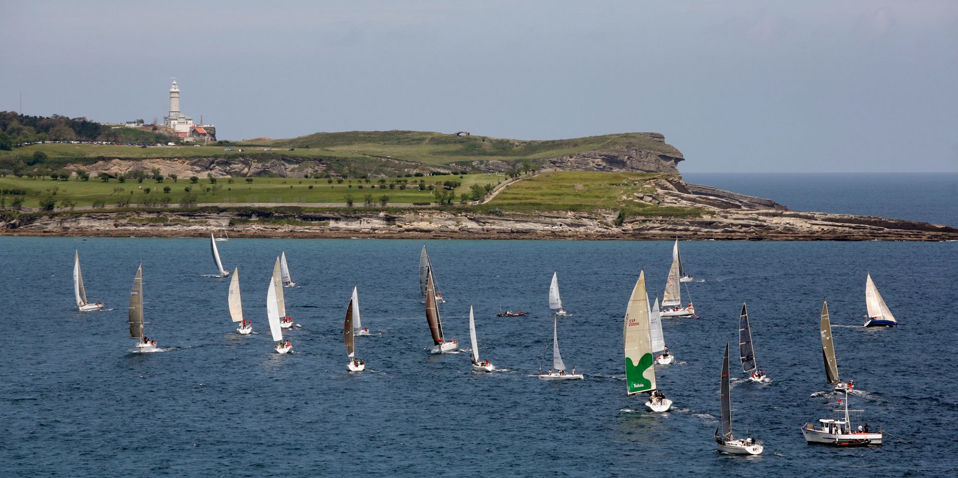
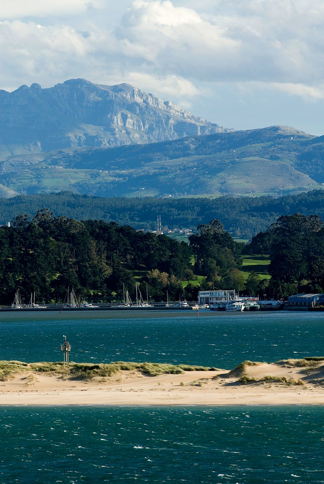
The entrance to the Bay is lined by the Sardinero beaches, where the Isle of Mouro with its lighthouses can be found. The access to its interior is through a narrow channel of water between the Magdalena Peninsula, near the Isle of the Tower and Horadada Island, and the sandbanks of El Puntal, a long series of beaches and dunes that protect the tranquil inner waters of the Bay.
The bay’s morphology has undergone major changes in the last few centuries. It is estimated that more than 50% of the original extension has been filled up, drying up a large amount of marsh area in order to expand the Port of Santander and to create new industrial and residential areas. Work is currently be conducted to recover the seaside ecosystem in some areas of high ecological value.
La baie de Santander, la capitale de la communauté autonome de Cantabrie, est le plus grand estuaire du nord de l’Espagne avec une extension de 22,42 km2, une longueur de 9 km et une largeur de 5 km. En raison de l’influence de Santander et de son aire métropolitaine, presque la moitié de la population de la communauté autonome habite autour de la baie, ce qui explique que cette étendue d’eau subisse une forte pression anthropique.
L’entrée de la baie est bordée par les plages de Sardinero, où l’on peut trouver l’île de Mouro avec ses phares. L’intérieur de la baie est accessible par un étroit passage entre la péninsule de la Magdalena, à proximité de laquelle se trouvent l’îlot de La Torre et l’île de la Horadada, et le banc de sable d’El Puntal, une large barrière longitudinale de plages et de dunes qui protège les tranquilles eaux intérieures de la baie.
La morphologie originelle de la baie a connu d’importants changements au cours des derniers siècles.On estime que plus de 50 % de l’extension initiale de celle-ci a été comblée par l’assèchement de marais transformés en pâturages ou utilisés pour l’agrandissement du port de Santander, la création de zones industrielles, résidentielles ou de services.À l’heure actuelle, des travaux sont en cours pour rétablir l’écosystème balnéaire dans certaines zones ayant une grande valeur écologique.
Local Partners: www.labaule.fr
Natural Environment
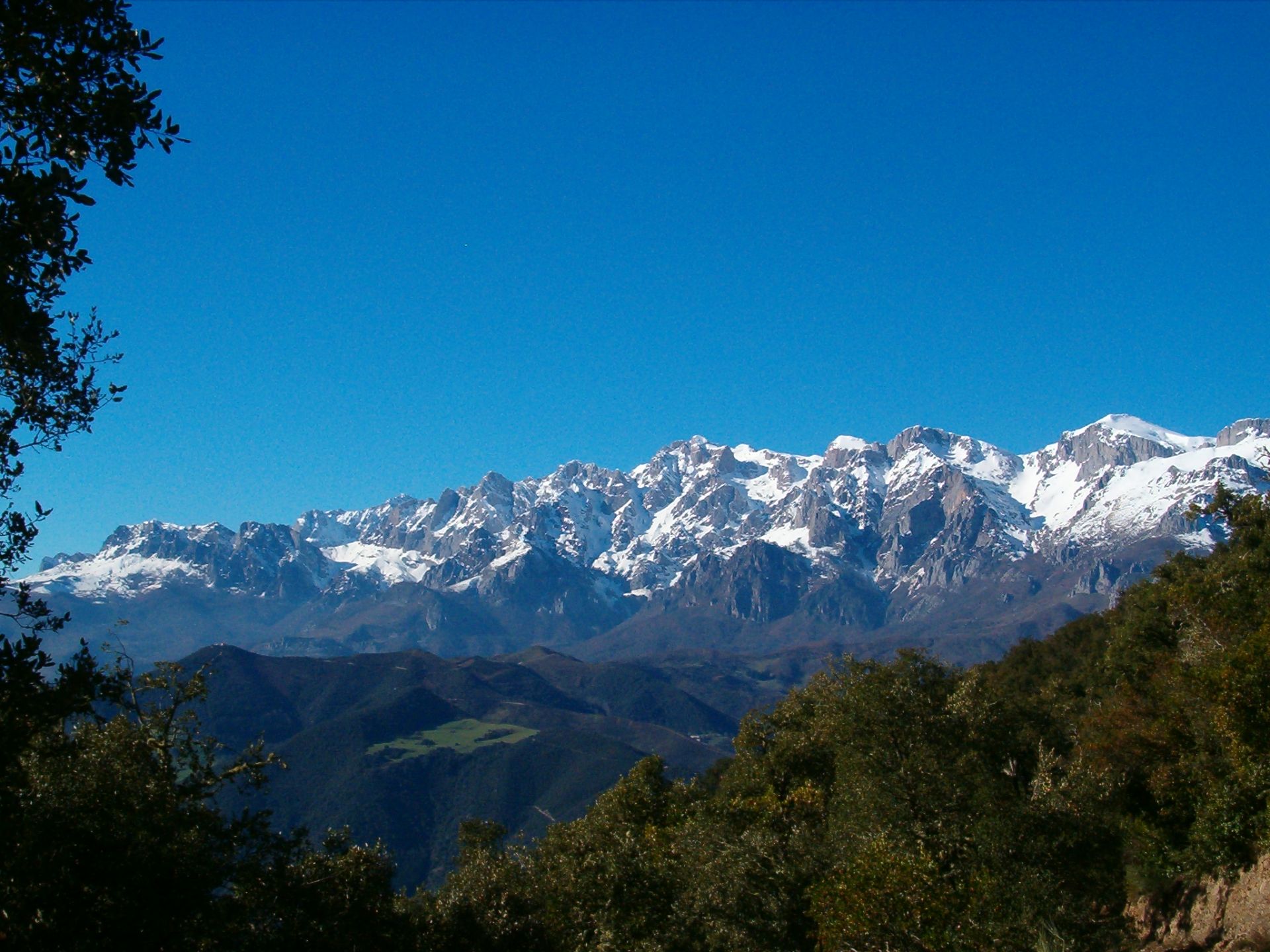
Coastline
Rocky and intented
Climate
wet moderate at hot summer
Temperatures
Annual average : 13, 9 ° C
Annual amplitude : 5° C at 22 ° C
Precipitations
Annual : 1 187 mm
Distribution : all seasons
Biogeographic Classification
Tropical moist broadleaf and mixed forest (Palaeartic west)
Human Environment
Language
Spanish
Local Economy
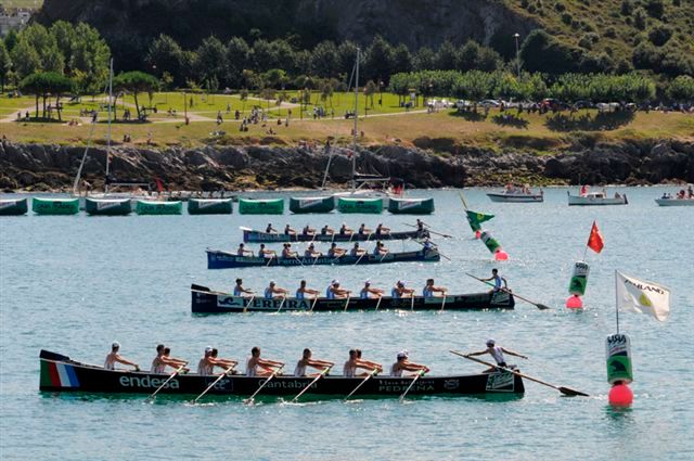
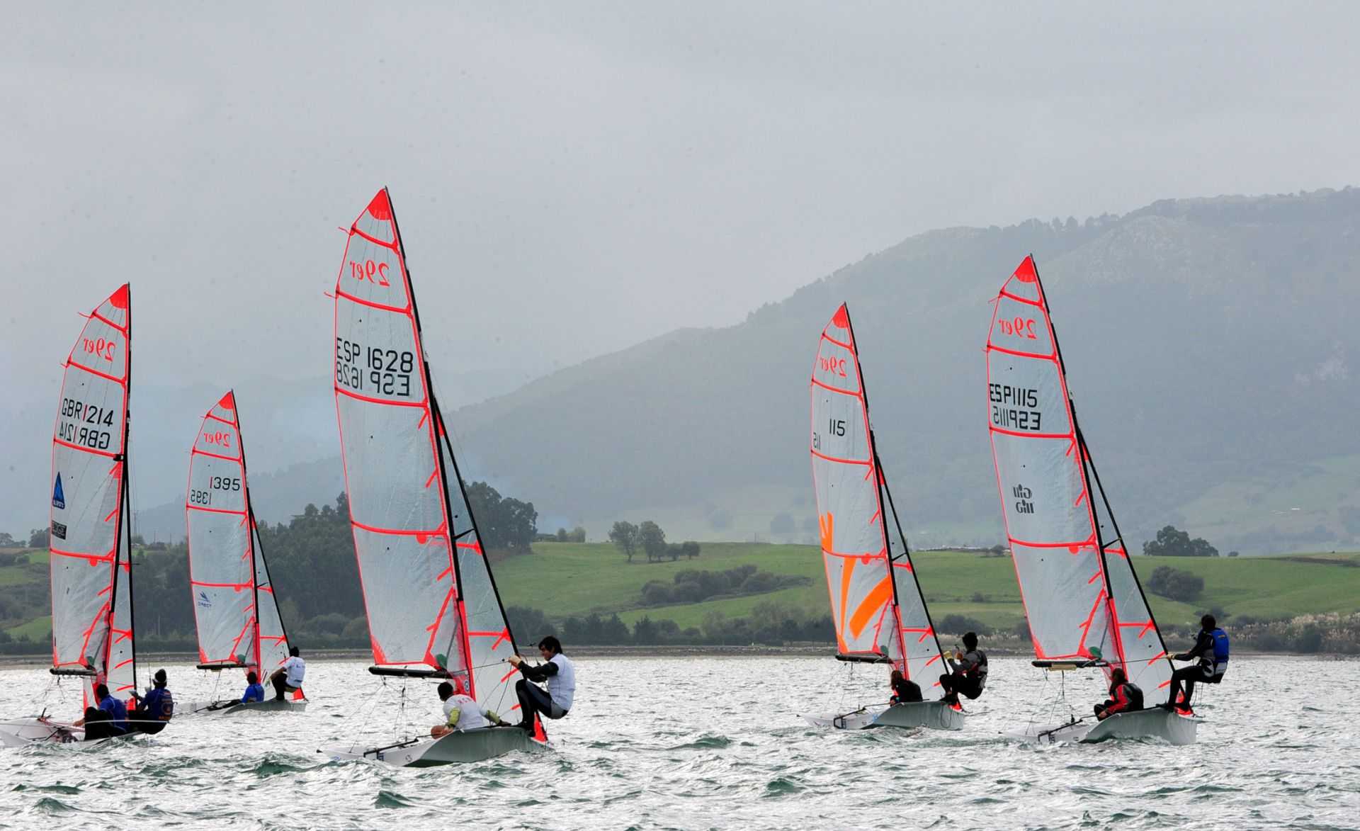
Industry - Fishing - tourism
Demography
Population (inhab.) : 200 000
Density (inhab/km2) : 500
Human Development Index
Spain : 0,918
Ecological Footprint
4,66
Heritage and Credentials
Natural Heritage
Atlantic moor (heather, broom, gorse), mixed forest (oaks, beeches, pines...)
Cultural Heritage
Rupestral site of art (Altamira)
Coastal Management
--
Criteria retained by the club
BN5 : homogeneous unity ; BC 2 : Testimony of exchanges of influences
Latest news
about Santander Bay


 your business playground