
BOKA KOTORSKA
Montenegro
See the map
General Information
about Boka Kotorska
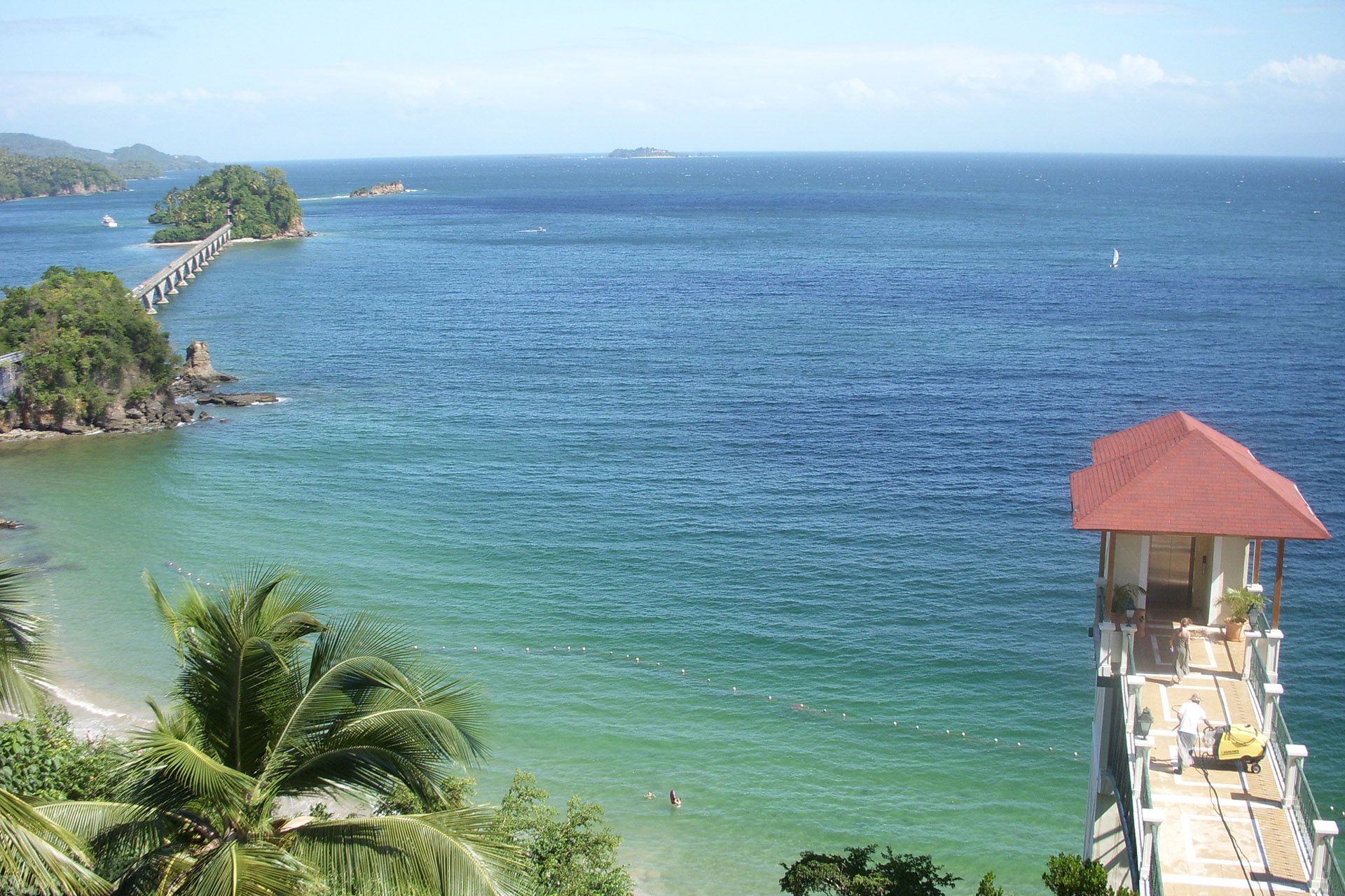
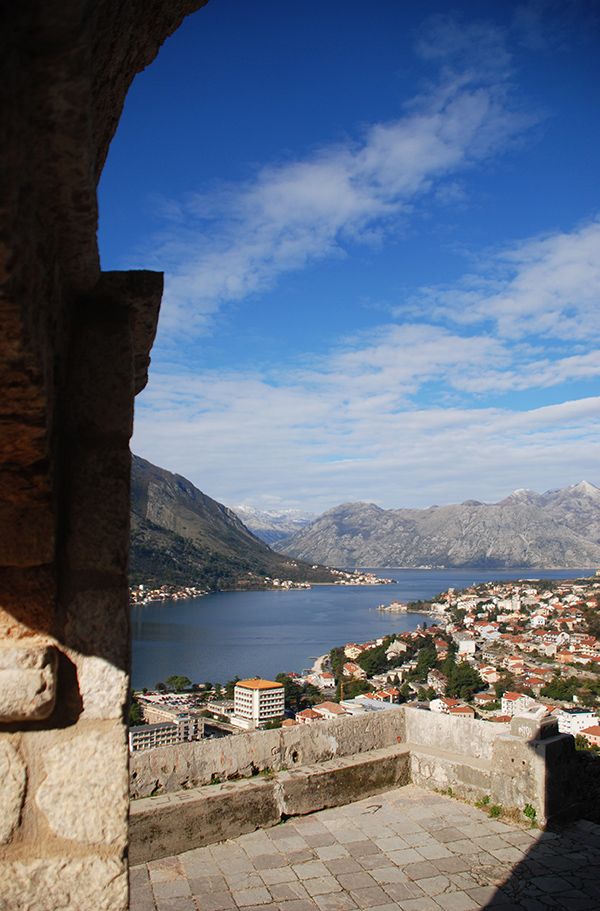
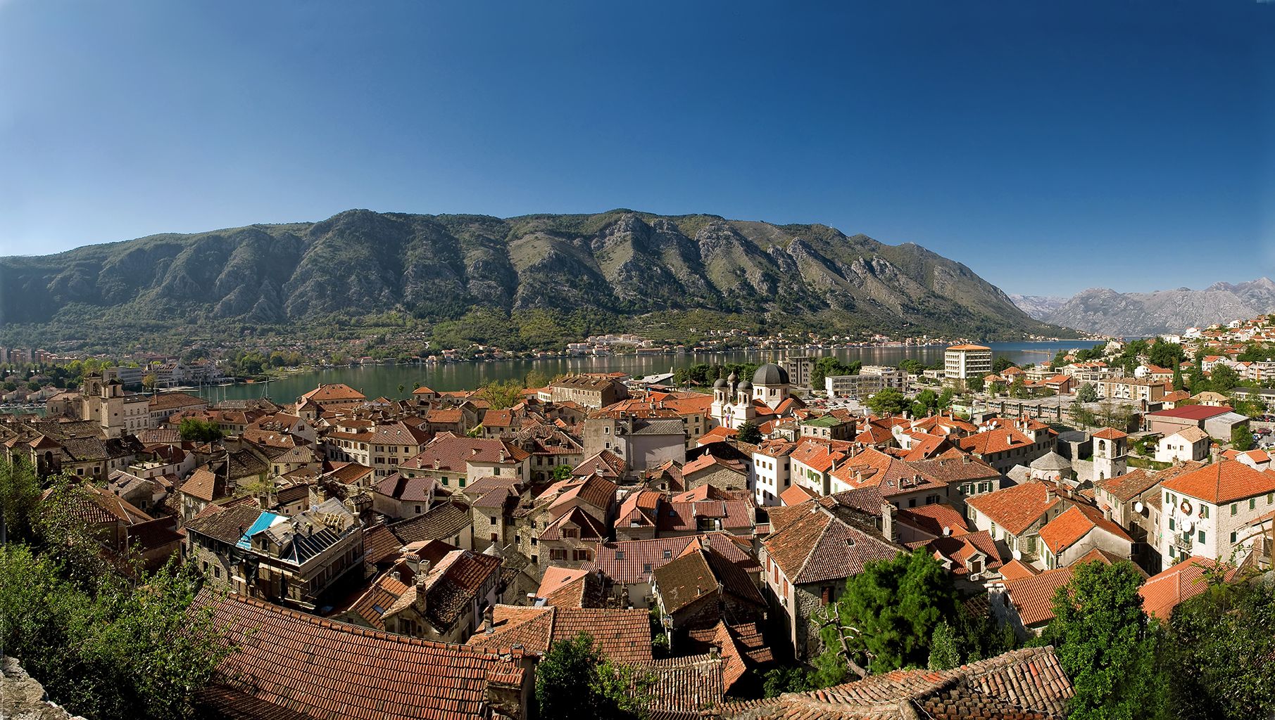
Bouches de Kotor, or simply Boka (“the Bay”), is a winding bay of the Adriatic Sea, in southwestern Montenegro.
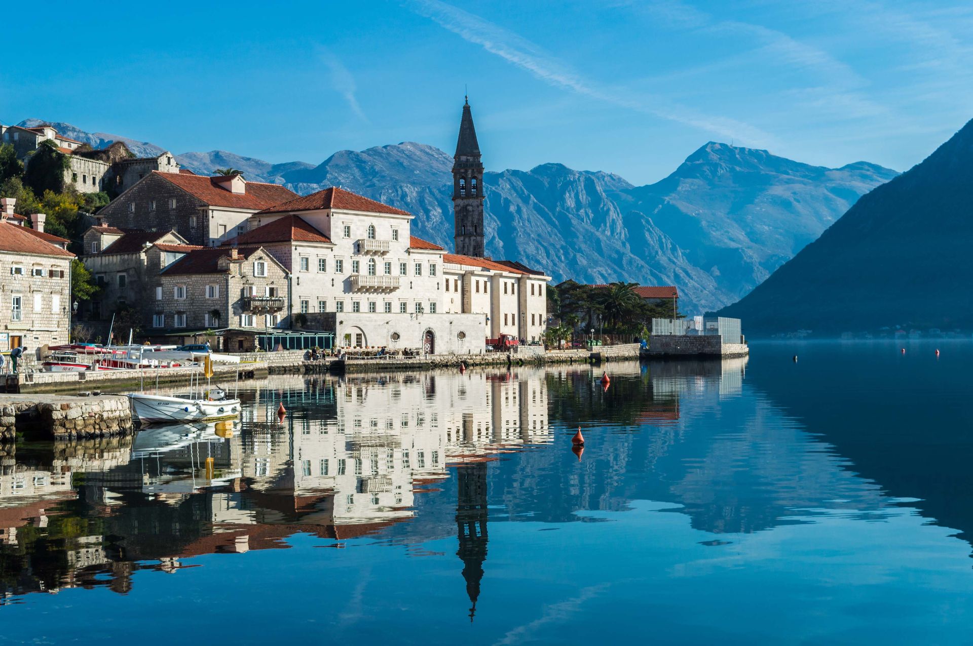
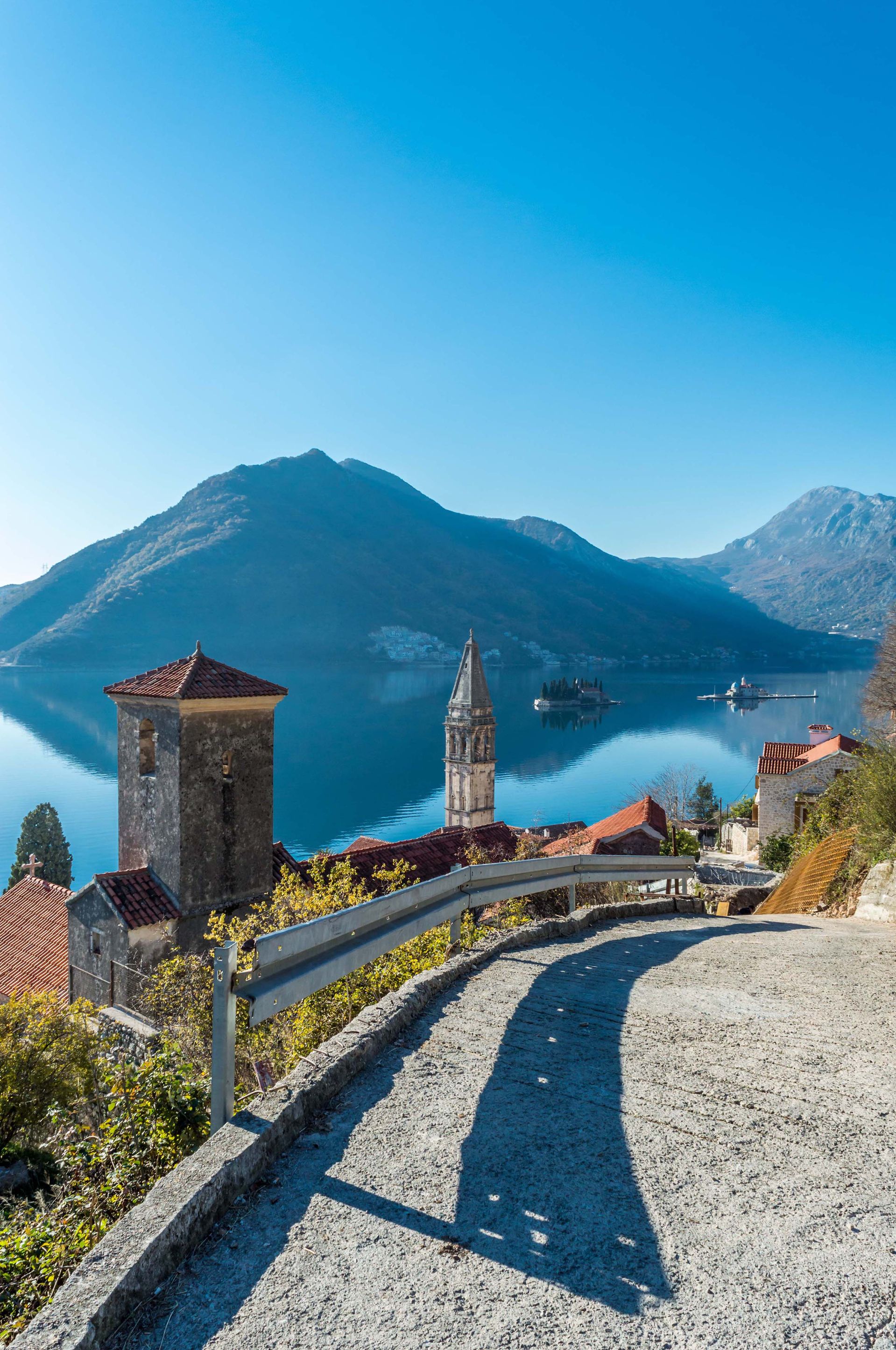
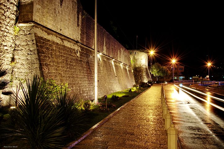
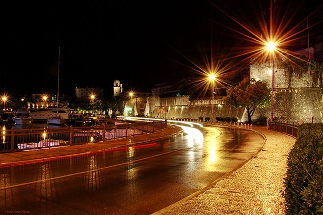
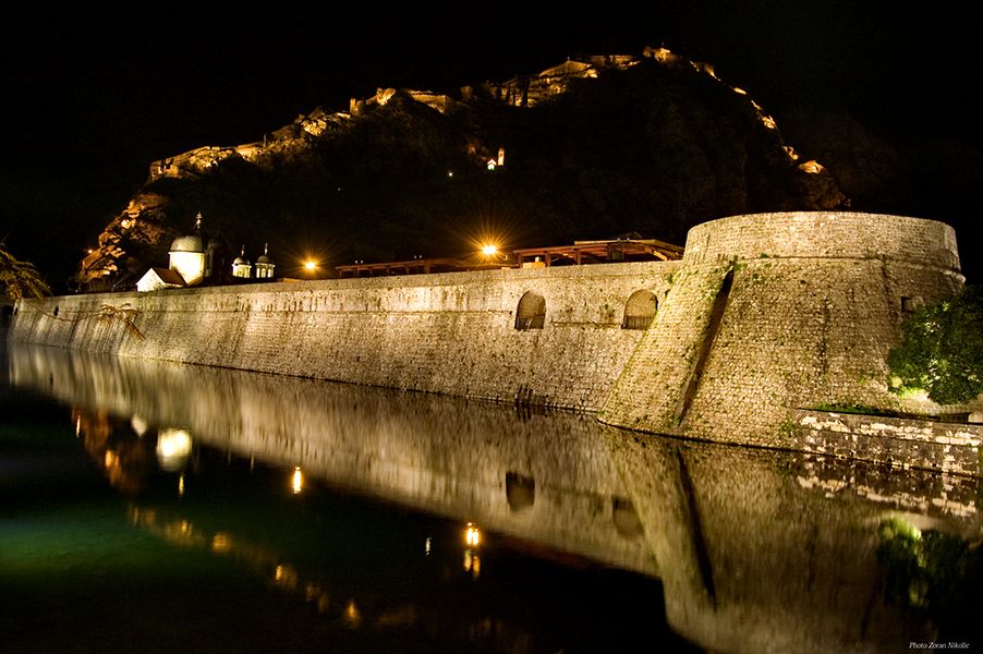
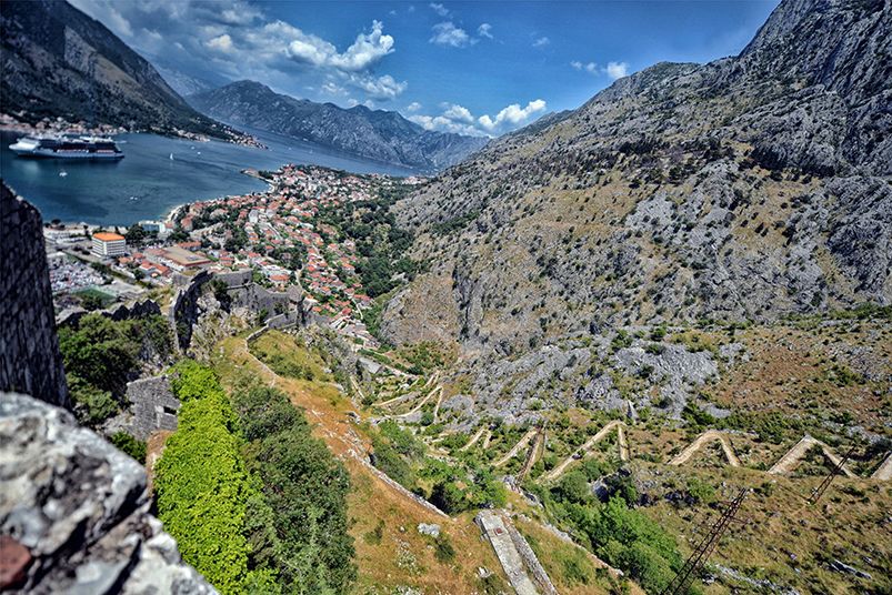
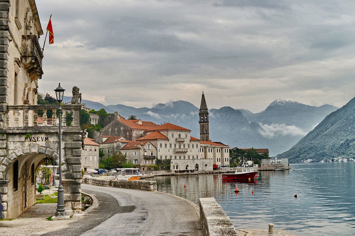
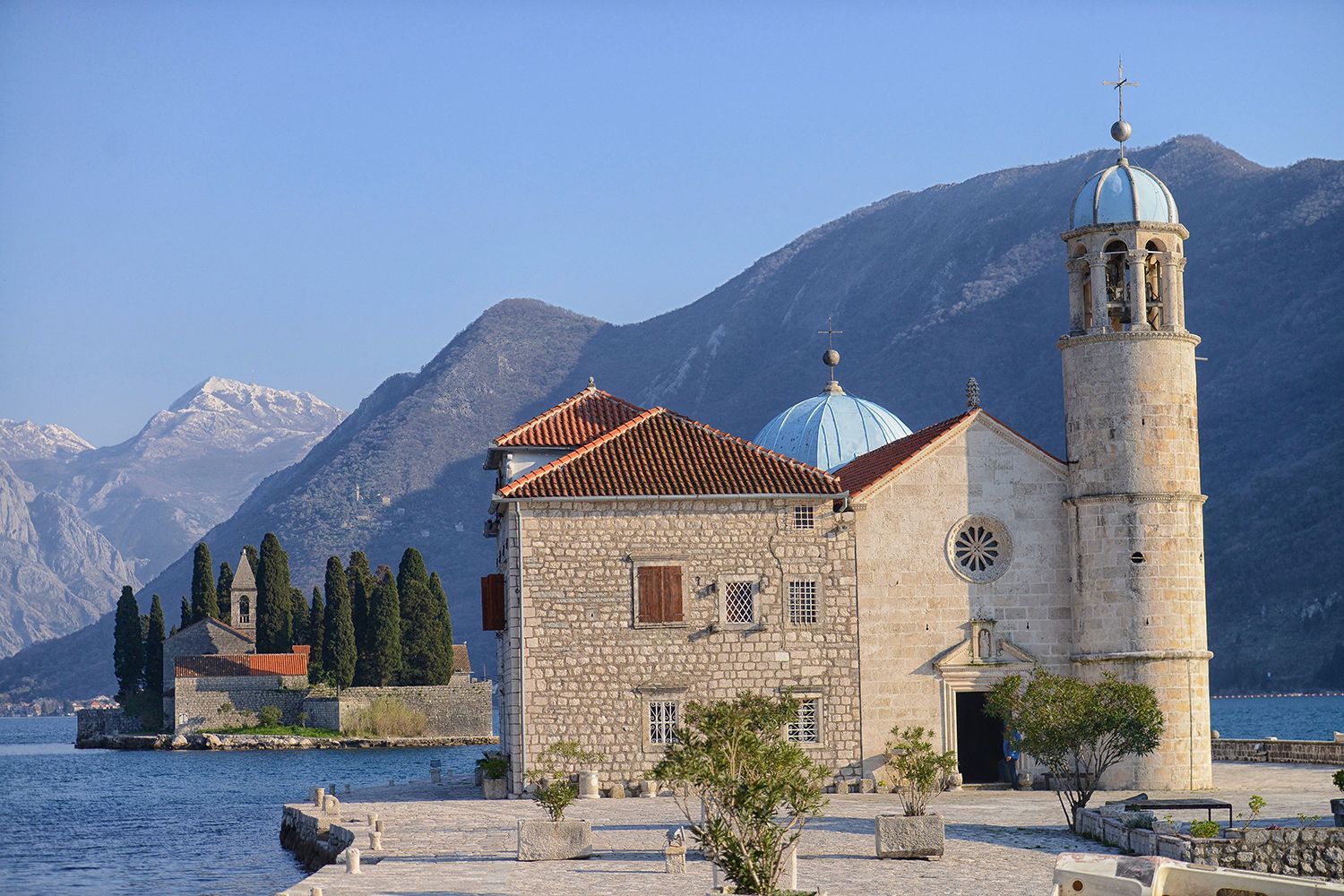
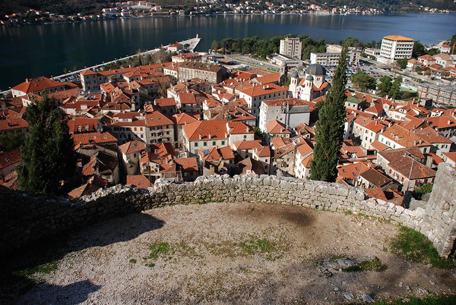
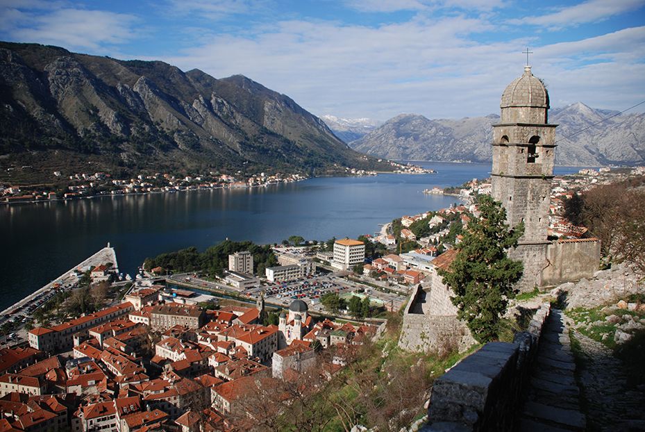
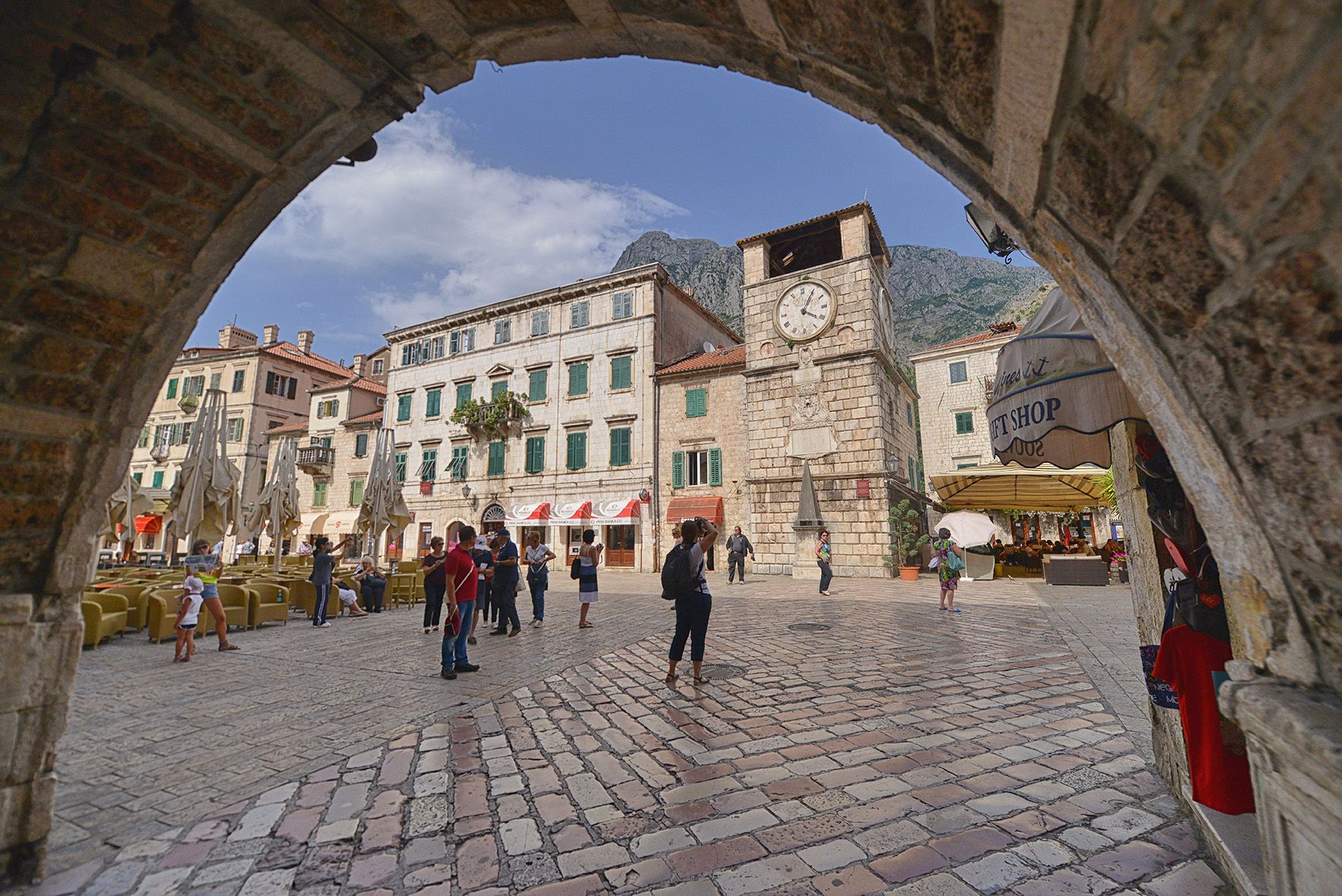
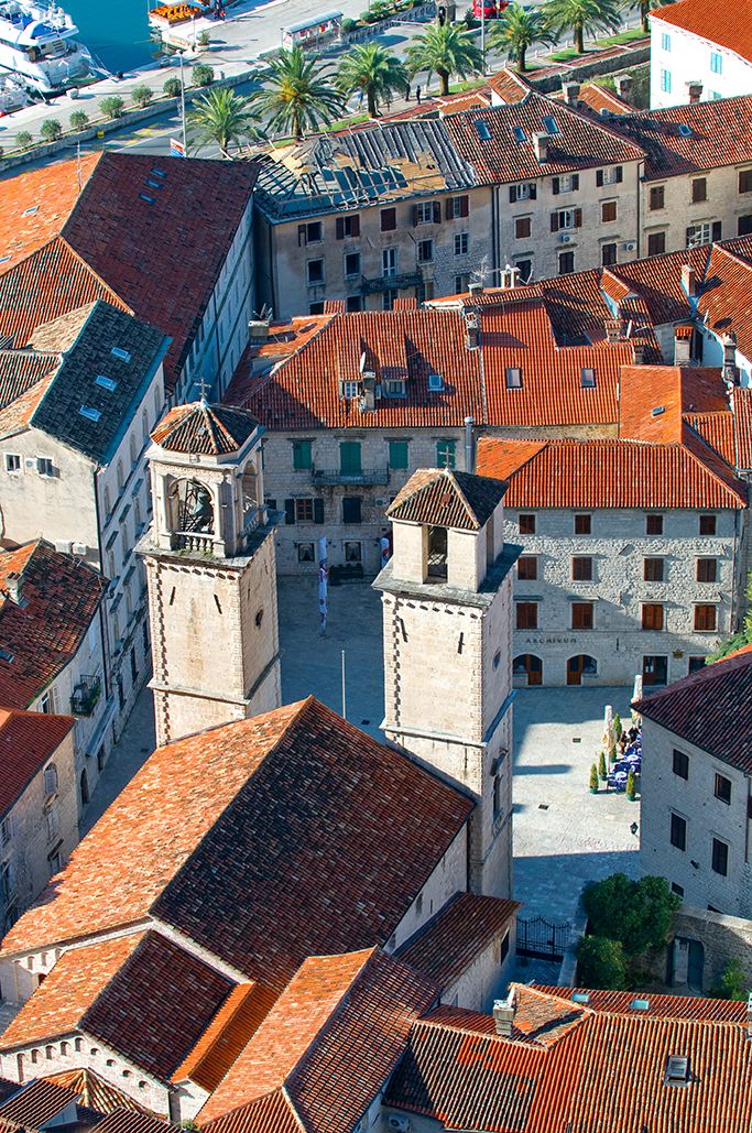
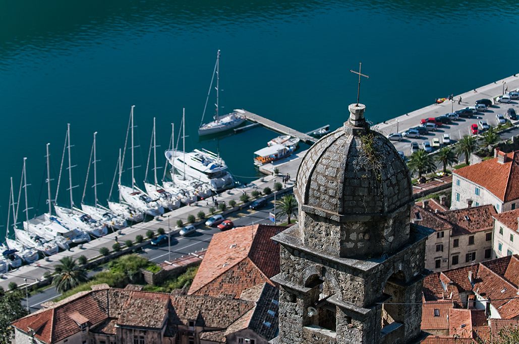
Its well-preserved medieval towns of Kotor, Risan, Tivat, Perast, Prčanj and Herceg Novi, along with their natural surroundings, are major tourist attractions. The Natural and Cultural-Historical Region of Kotor has been a World Heritage Site since 1979.
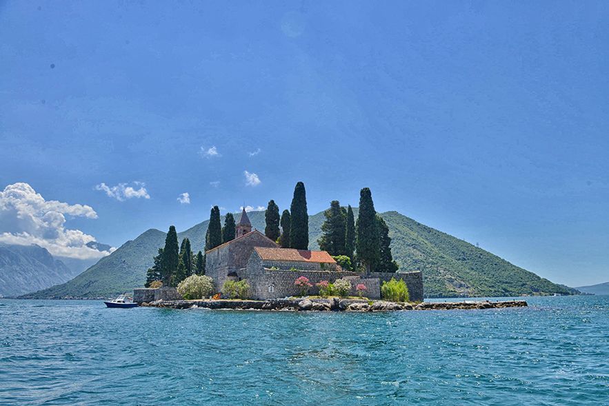
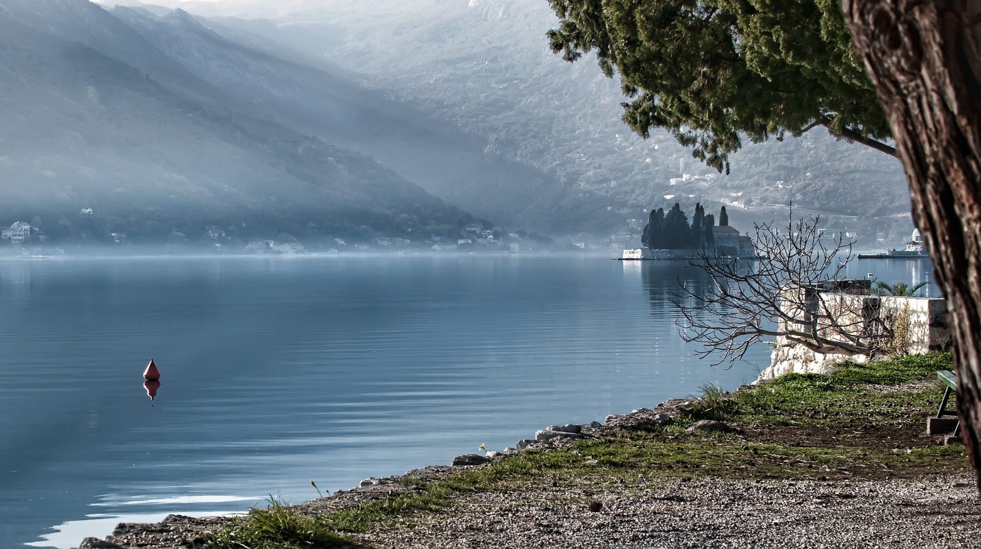
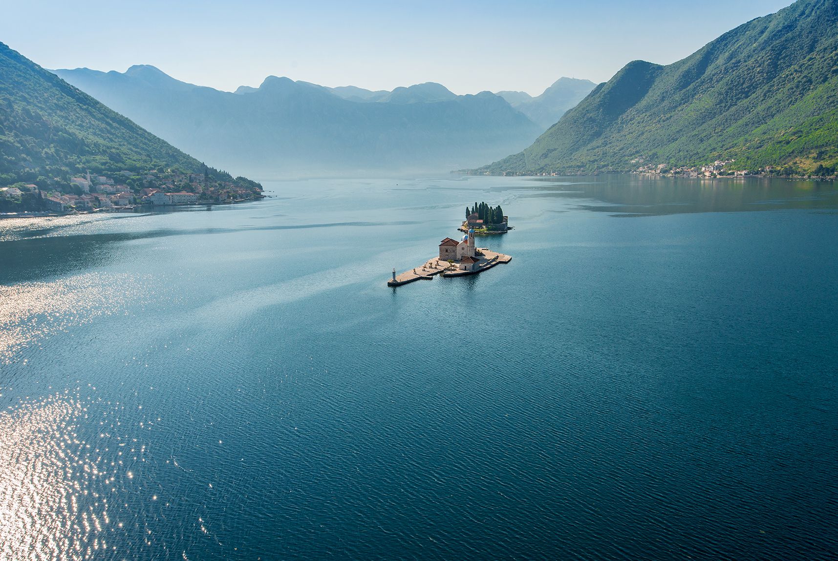
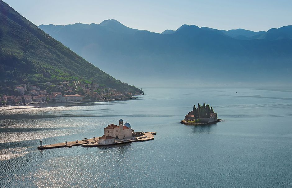
The bay’s numerous Orthodox and Catholic churches and monasteries make it a major pilgrimage site.
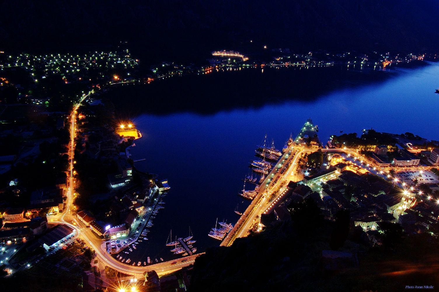
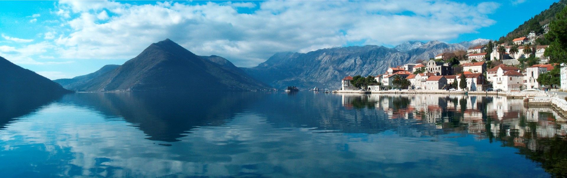
The bay is about 28 km long with a shoreline extending 107.3 km. It is surrounded by two massifs of the Dinaric Alps: the Orjen Mountains to the west, and the Lovćen Mountains to the east. The narrowest section of the bay, the 2300-m-long Verige Strait, is only 340 m wide at its narrowest point. The bay is part of the vanished Bokelj River, which used to run from the high mountain plateaus of Mount Orjen.
The bay is composed of several smaller broad bays, united by narrower channels. The bay inlet was formerly a river system but tectonic andkarstification processes led to its disintegration. After heavy rains, the waterfall of Sopot spring, at Risan, appears; Škurda, another well-known spring, runs through a canyon from Lovćen.
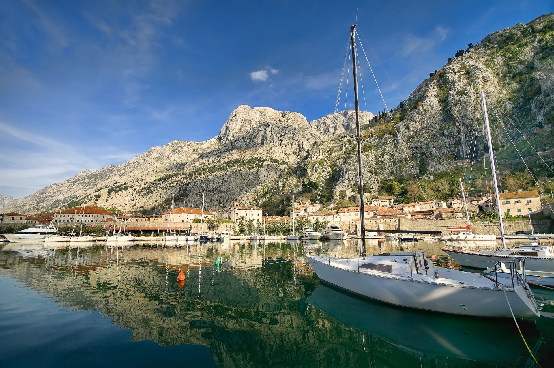
Although the gulf of Kotor is commonly referred to as a fjord, it was not formed by glacial movement and is, in fact,a ria (a drowned river canyon), but is by common consent, spectacular. The high mountains that bend around the coastline protect the bay from the open sea and from the cold climate of the north in winter. This allows an abundance of Mediterranean vegetation to grow: agave, palm, mimosa, oleander, kiwi, pomegranate and medicinal herbs can all flourish in these temperatures.
The outermost part of the bay is the Bay of Tivat (Teodo). On the seaward side is the Bay of Herceg Novi (Castelnuovo), at the main entrance to the Bay of Kotor. The inner bays comprise the Bay of Risan to the northwest and the Bay of Kotor to the southeast.
Les bouches de Kotor, ou simplement Boka (« la baie »), sont une baie sinueuse de la mer Adriatique, au sud-ouest du Monténégro.
Ses villes médiévales bien conservées de Kotor, Risan, Tivat, Perast, Prčanj et HercegNovi, ainsi que leur environnement naturel, sont des attractions touristiques majeures. La contrée naturelle et culturo-historique est un site du patrimoine mondial, depuis 1979.
Les nombreuses églises et monastères orthodoxes et catholiques de la baie en font un grand lieu de pèlerinage.
La baie mesure environ 28 km de long et son rivage s’étend sur 107,3 km. Elle est entourée de deux massifs des Alpes dinariques,les montagnes d’Orjen à l’ouest et les montagnes de Lovćen à l’est. Le point le plus étroit de la baie, le détroit de Verige, de 2 300 mètres de long, ne mesure que 340 mètres de large. La baie est un canyon immergé de la rivière Bokelj, une rivière désintégrée qui s’écoulait sur le plateau des hautes montagnes du Mont Orjen.
La baie est composée de plusieurs petites baies plus larges, reliées entre elles par d’étroites passes. L’entrée de la baie était autrefois un système fluvial, mais les processus tectoniques et de karstification ont conduit à sa désintégration. À Risan, la cascade de la source de Sopot se précipite après de fortes pluies. Škurda, une autre source d’eau bien connue, traverse le canyon de Lovćen.
Bien que le golfe de Kotor soit communément considéré comme un fjord, en réalité, il n’a pas été formé par le passage des glaciers et constitue, en fait, une ria (un canyon de rivière ennoyé). Mais il y a un consensus général de le considérer spectaculaire. Les hautes montagnes autour de la côte protègent la baie de la forte mer et du froid du nord en hiver. L’abondante végétation méditerranéenne qui y pousse traduit le caractère unique de cette région : l’agave, le palmier, le mimosa, le laurier-rose, le kiwi, la grenade et les herbes médicinales peuvent s’épanouir à ces températures.
Le golfe de Tivat (Teodo) est la partie la plus extérieure de la baie. Sur la partie proche de la mer se trouve le golfe de HercegNovi (Castelnuovo), qui garde l’entrée principale de la baie de Kotor.Les deux autres golfes intérieurs sont ceux de Risan au nord-ouest et de Kotor au sud-est.
Local Partners: www.kotor.me
Natural Environment
Coastline
High and intented coasts
Climate
Mediterranean (dry summer)
Temperatures
Annual average : 16° C
Thermal average : between 7,3° C and 26,1° C
Precipitations
Annual : 885 mm
Distribution : all seasons - maximum of autumn
Biogeographic
Classification
Mediterranean forests, woodlands and scrub (Palaeartic west)
Human Environment
Language
Montenegrin, Serbian, Croatian
Local Economy
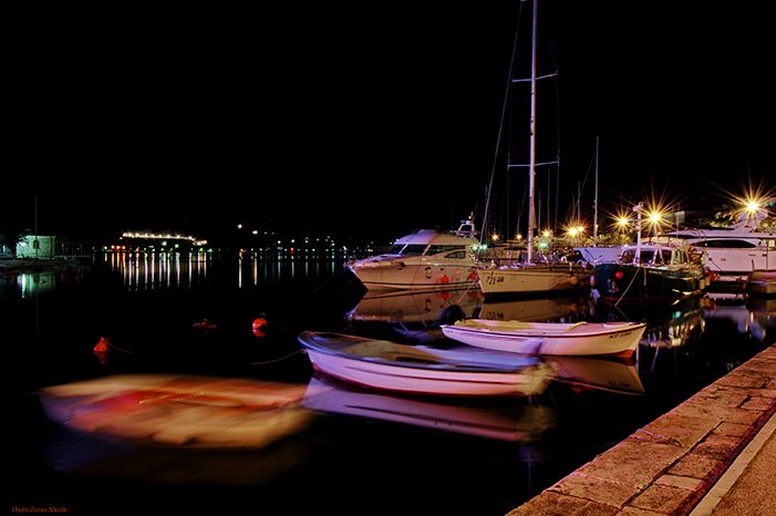
Tourism - Agriculture – Fishing -Sailing
Demography
Population (inhab.) : 71 443
Density (inhab/km2): 108
Human Development Index
Montenegro : Unknowed
Ecological Footprint
Montenegro : 2,14
Heritage and Credentials
Natural Heritage
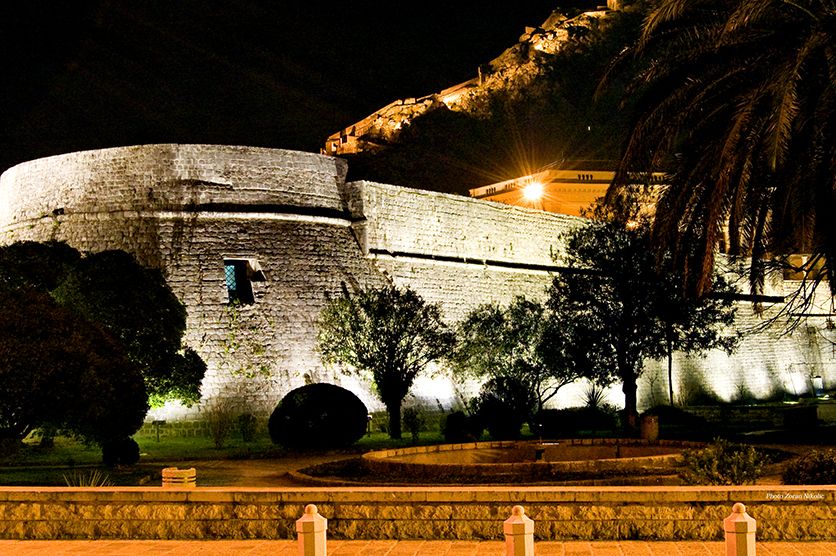
Mediterranean fjord. Boka Kotorska is a unique bay of the Mediterranean. It is an exceptional cultural landscape created through harmonious symbiosis of natural phenomena and built heritage. Various morphological, geological and hydrological phenomena contributed to turning this area into an exceptional creation of nature of high quality, unique not only on the Mediterranean but also, with its entirety and anthropogenic component, in the world. The Bay is surrounded by steep limestone mountains of the Dinaric Alps, reaching its highest elevation of 1895 m (Mt Orjen) and the greatest depth in the Bay (52 m), which makes this area one of the rare holokarst areas in the worlds, with particularly expressed karst morphology and hydrology.
Cultural Heritage
The towns and bigger and smaller settlements lining the coast of the Bay represent diverse and distinctive ensembles. Although each settlement has its own urban and cultural characteristics, it achieves the unity and continuity of cultural heritage of the whole area. Sacral architecture of the settlements developed through blending of different, especially Romanesque and Baroque styles, while profane architecture created different forms of houses, through mixture of vernacular architecture and influences of the Mediterranean, the West and the East. Due to its exceptional universal cultural and natural values one part of the Bay of Boka Kotorske, i.e. the area of Kotor, which includes two smaller bays of Kotor and Risan, has been inscribed on UNESCO’s World Heritage List since 1979.
Coastal Management
Provided by Morsko Dobro
Criteria retained by the club
BN 1 : Geological process ; BN 3 : Aesthetic importance
Latest news
about
Boka Kotorska


 your business playground