
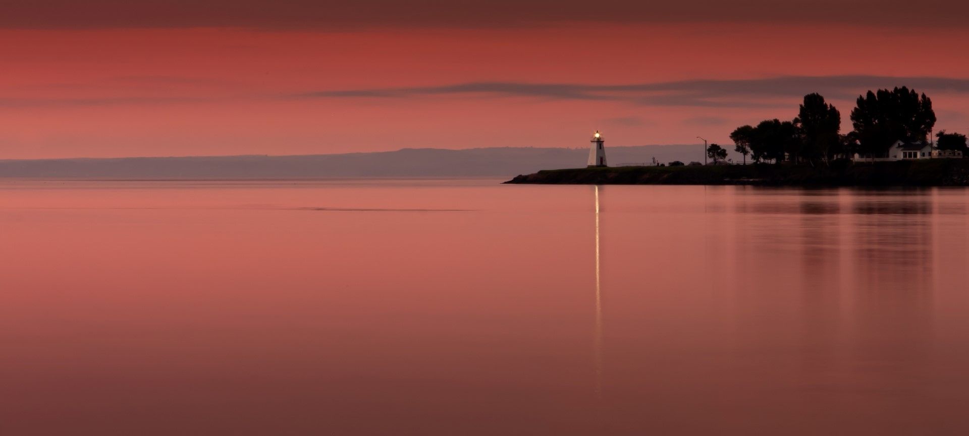
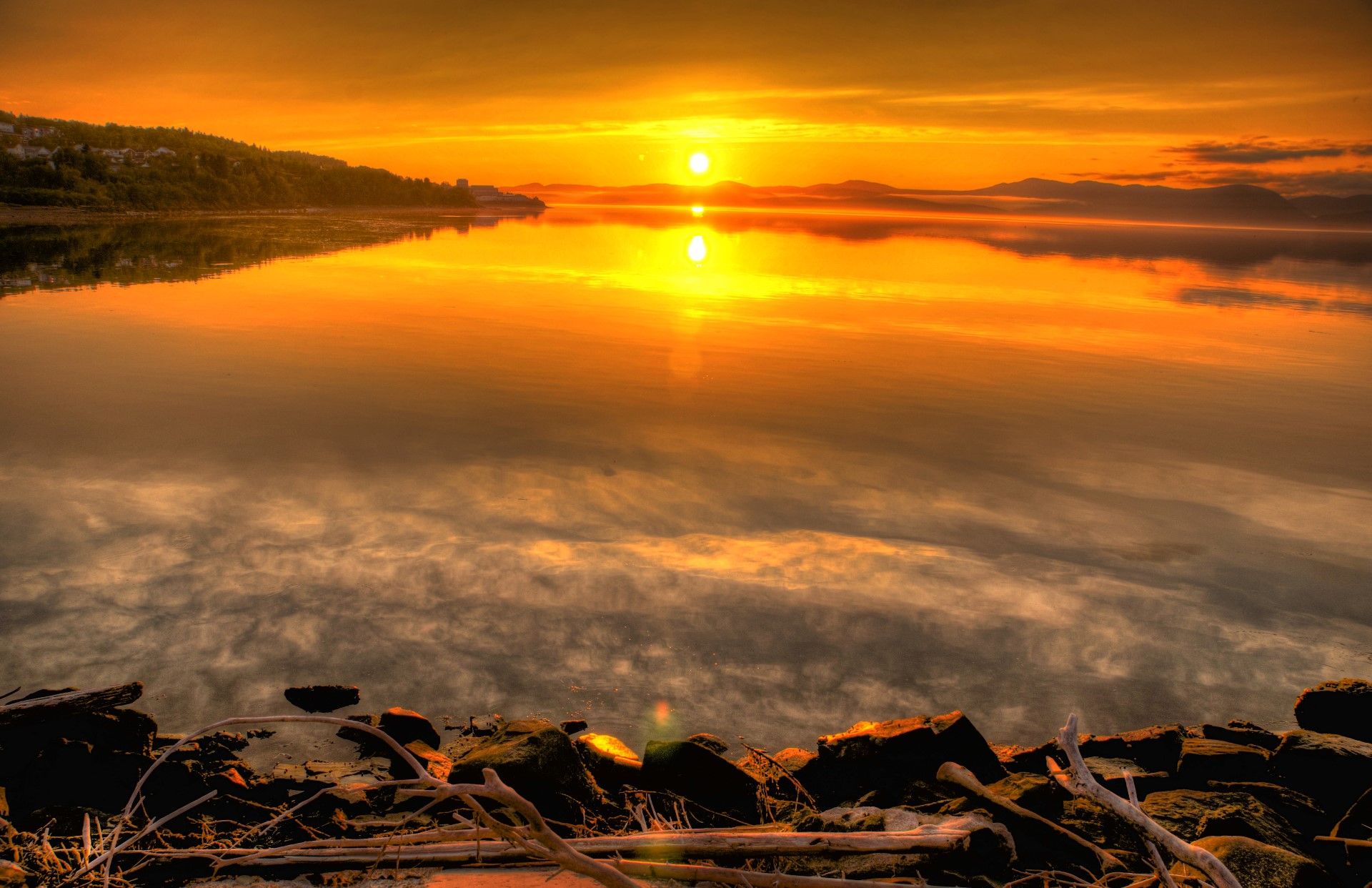
Bay of Chaleur
France
See the map
General Information
about Bay of Chaleur
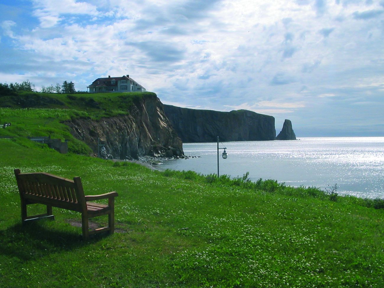
In Canada, the Baie des Chaleurs, informally known in English as the Bay of Chaleur due to the influence of its French translation and meaning “bay of warmth” or “bay of torrid weather,” is an arm of the Gulf of Saint Lawrence located between Quebec and New Brunswick.
The name of the bay is attributed to the explorer Jacques Cartier.
It measures approximately 50 km (27nmi) in width at its widest point between Bathurst and New Carlisle. The western end of the bay transitions into the estuary of the Restigouche River at Dalhousie, New Brunswick.
The mouth of the bay is delineated by a line running from “Haut-fond Leander” near Grande-Rivière, Quebec in the north and the “Miscou Shoals” near Miscou Island, New Brunswick in the south.
The estuaries of various rivers flowing into the bay create a prominent smell of salt water, notably in the estuary of the Restigouche River.
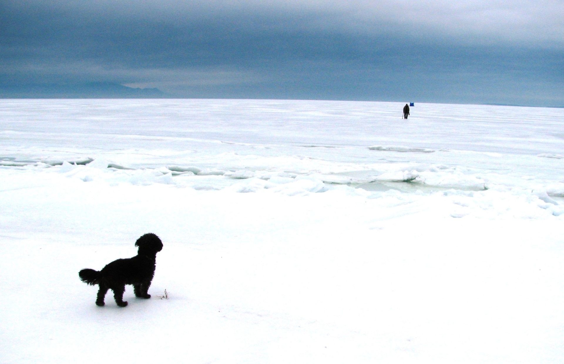
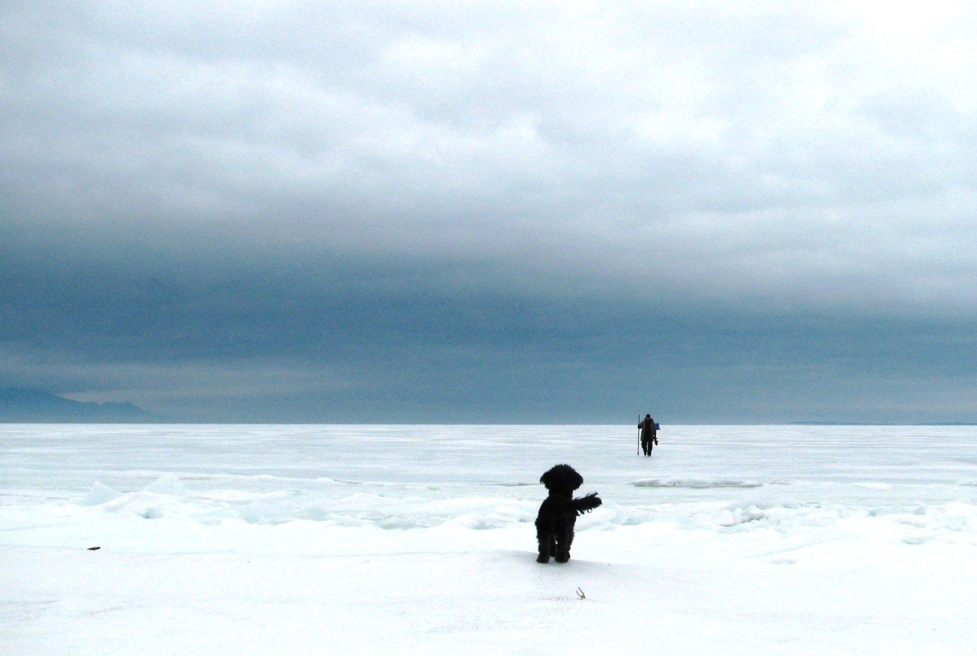
The bay’s shape and the steep cliffs along its northern shore sometimes create particularly windy conditions, especially off Nepisiguit Bay. Under the right wind direction and speed, sea conditions in large areas of the bay can become quite treacherous. Tidal currents are generally weak, except at the mouths of some rivers and certain channels. Its configuration tends to channel the wind for two reasons: the steep cliffs on its North side, and its V shape. This means that in the middle of this section, off Nepisiguit Bay, there is a zone that is particularly windy and subject to high seas if the wind is from the Northwest or the Northeast. Tidal currents in this section rarely reach one knot, except at the mouths of some rivers and some channels.
Chaleur Bay is home to a variety of marine life, including numerous species of ground fish and shellfish such as lobster and scallops. Additionally, many of the bay’s pristine rivers support some of the largest wild Atlantic Salmon remaining in the North Atlantic Ocean, creating a haven for sports angling.
Chaleur Bay is host to an unusual visual phenomenon, the Fireship of Chaleur Bay, an apparition of sorts resembling a ship on fire which has reportedly appeared at several locations in the bay. It is possibly linked to similar sightings several hundred kilometres to the south where the Fireship of Northumberland Strait has been seen in the Northumberland Strait.
Au Canada, la baie des Chaleurs, connue officieusement en anglais sous le nom de Bay of Chaleur (sous l’influence de sa traduction en français de « baie de la chaleur » ou « baie du temps torride »), est un bras du golfe du Saint-Laurent, située entre le Québec et le Nouveau-Brunswick.
Le nom de la baie est attribué à l’explorateur Jacques Cartier.
La baie mesure autour de 50 km (27 milles marins) à son point le plus large, entre Bathurst et New Carlisle.L’extrémité ouest de la baie devient l’estuaire du fleuve Restigouche à Dalhousie, au Nouveau-Brunswick.
L’embouchure de la baie est délinéée par une ligne qui va de Haut-fond Leander, près de la Grande-Rivière, au Québec, au nord, et les Bancs de Miscou, près de l’île Miscou au Nouveau-Brunswick, au sud.
Les estuaires des fleuves que se jettent dans la baie lui donnent son odeur proéminente d’eau salée, surtout à l’estuaire du Restigouche.
La forme de la baie et les falaises abruptes le long de sa rive nord créent parfois des conditions particulièrement venteuses, surtout au large de la baie de Nepisiguit. Selon la direction et la vitesse du vent, la mer peut devenir très dangereuse dans de vastes zones de la baie. Les courants de marée sont généralement faibles, sauf à l’embouchure de certaines rivières et de certains chenaux. Sa configuration favorise la canalisation du vent pour deux raisons : l’escarpement des falaises de son versant nord et son dessin en forme de V. Cette caractéristique crée, en son centre, au large de la baie Nepisiguit, une zone particulièrement venteuse et de forte mer, par vent du nord-ouest ou du nord-est. Les courants de marée y atteignent rarement un nœud, sauf à l’embouchure de certaines rivières et de certains chenaux.
La baie des Chaleurs abrite une variété de vie marine, y compris de nombreuses espèces de poissons de fond et de coquillages, comme le homard et les pétoncles. D’autre part, de nombreuses rivières immaculées de la baie abritent l’un des plus grands saumons sauvages de l’Atlantique Nord, créant ainsi un paradis pour les amateurs de sport.
Dans la baie des Chaleurs, un phénomène visuel inhabituel perdure, le bateau en feu de la Baie des Chaleurs, une sorte d’apparition ressemblant à un navire en feu qui aurait été observé à plusieurs endroits dans la baie. Ce phénomène peut être lié à des observations similaires à plusieurs centaines de kilomètres au sud, dans le détroit de Northumberland, où le « bateau-en-feu du détroit de Northumberland » a été vu à plusieurs reprises.
Local Partners: www.baiedeschaleurs.com
Natural Environment
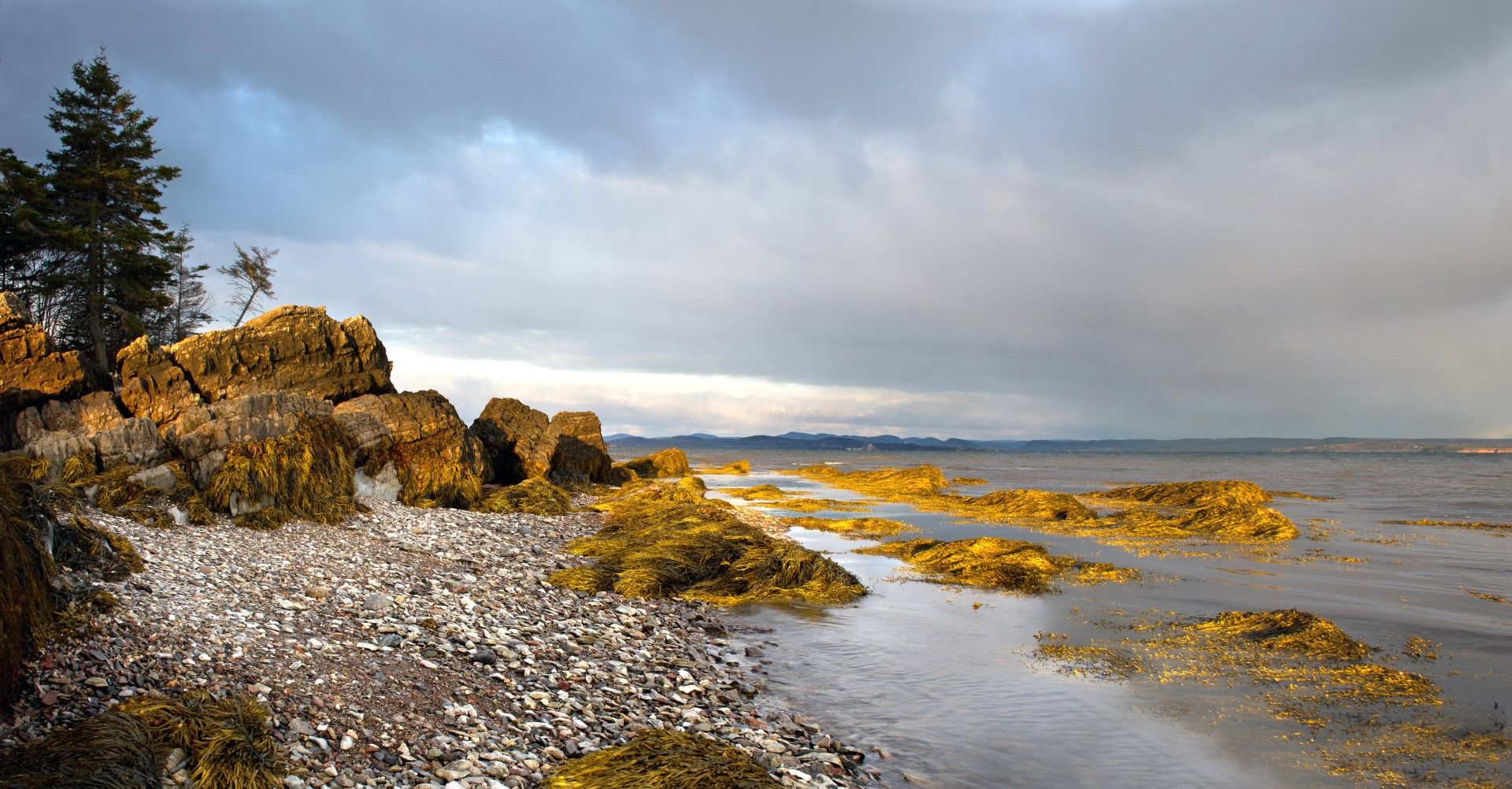
Coastline
Old submerged glaciated valley (fjord)
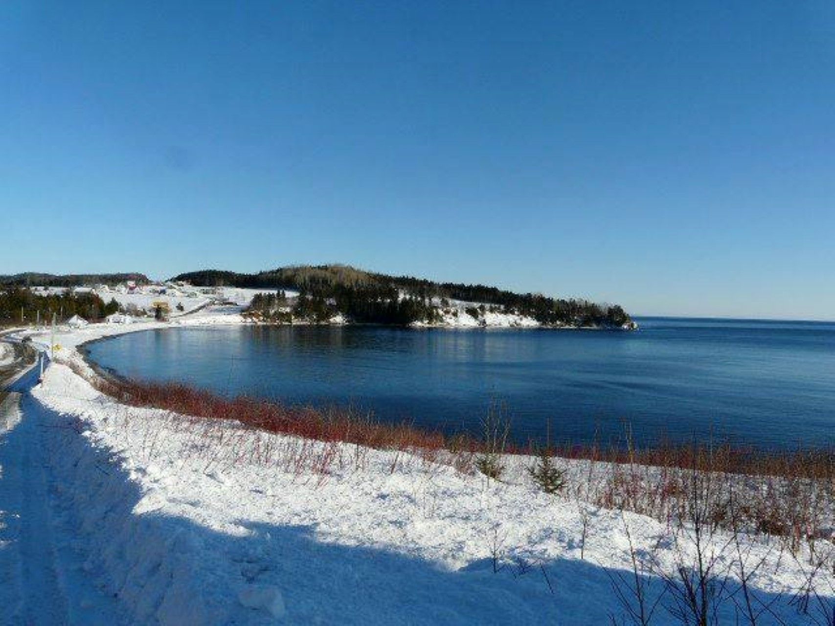
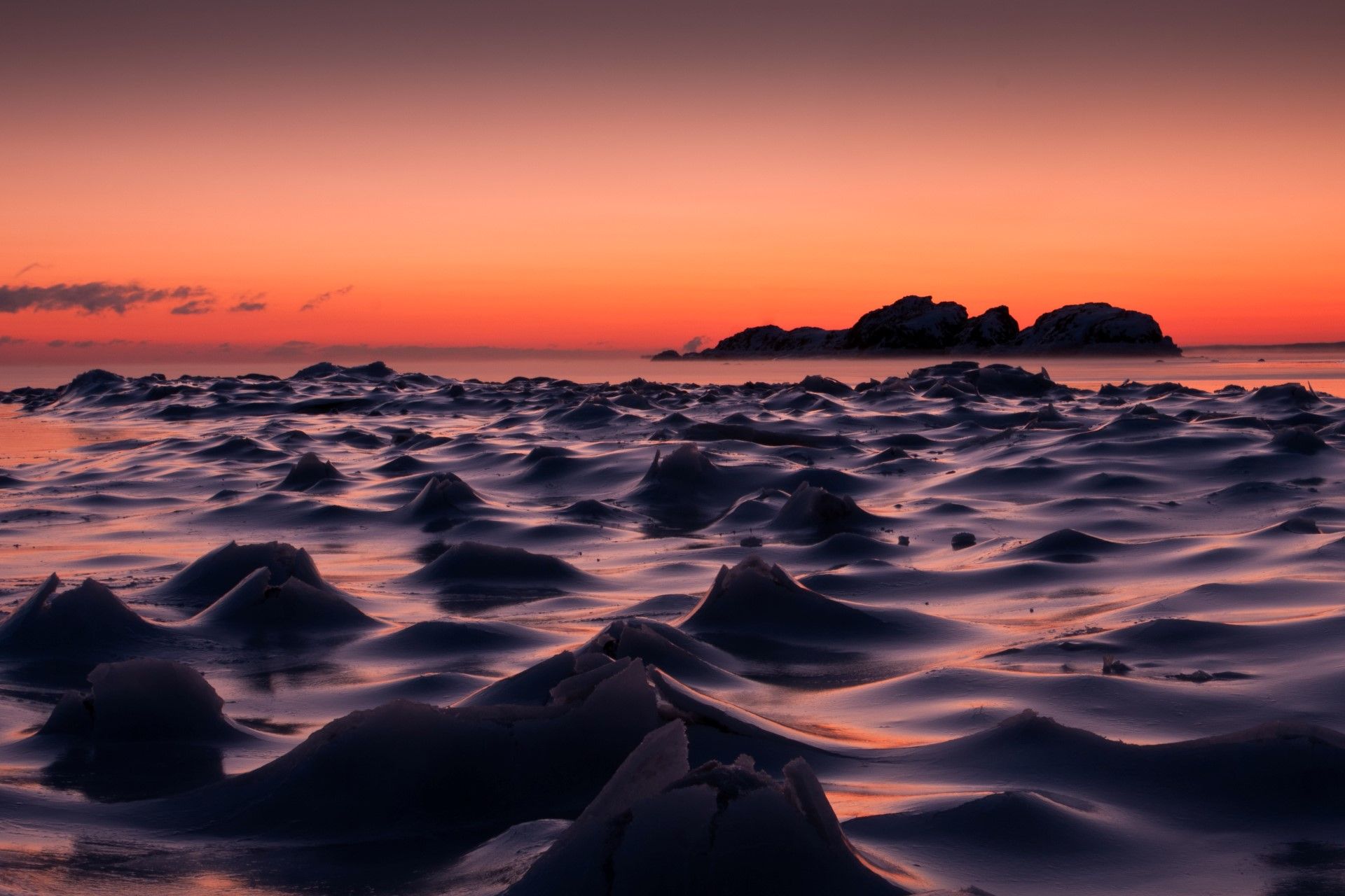
Climate
Climate at very cold, very long and wet winter
Temperatures
Annual average : 3,5 °C
Thermal amplitude : from -13°C to 20°C
Precipitations
Annual : 800 mm
Distribution : All the year
Biogeographic Classification
Temperate deciduous and coniferous (Néartic)
Human Environment
Language
French, English
Local Economy
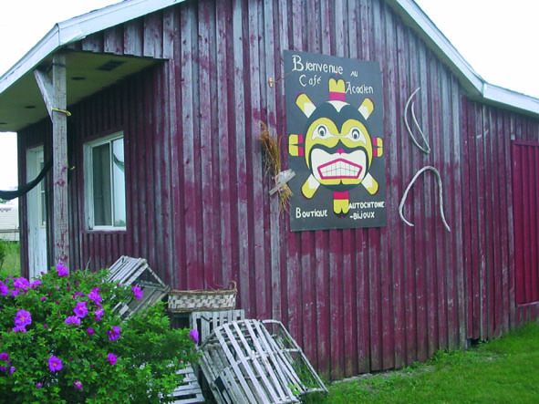
Tourism, craft industry, fishing
Demography
Population (inhab.) : 500
Density (inhab/km2) : 50
Human Development Index
0,937
Ecological Footprint
8,84
Heritage and Credentials
Natural Heritage
The site paleonthologic of the national park of Miguasha, in the south-east of Quebec, on the southern coast of the peninsula of Gaspé, is regarded as the best world illustration of the period dévonienne known like the age of fish. It goes up to 370 million years.
Cultural Heritage
Indian culture pluri-millénnaire, prehistoric fossils
Coastal Management
Program ZIP Baie of Chaleur
Criteria retained by the club
BN 5 : Natural entity ; BC 3 :Testimony on a civilization (Indians)
Latest news
about Bay of Chaleur
 your business playground